
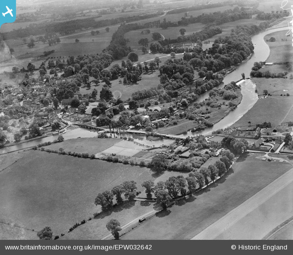
EPW032642 ENGLAND (1930). The River Thames, Sonning Bridge and the Backwater Bridges, Sonning Eye, from the north-east, 1930
© Copyright OpenStreetMap contributors and licensed by the OpenStreetMap Foundation. 2026. Cartography is licensed as CC BY-SA.
Nearby Images (4)
EPW032642

EPW032641

EAW015543

EPW032659

Details
| Title | [EPW032642] The River Thames, Sonning Bridge and the Backwater Bridges, Sonning Eye, from the north-east, 1930 |
| Reference | EPW032642 |
| Date | June-1930 |
| Link | |
| Place name | SONNING EYE |
| Parish | EYE AND DUNSDEN |
| District | |
| Country | ENGLAND |
| Easting / Northing | 475453, 175976 |
| Longitude / Latitude | -0.9134032736831, 51.477219244469 |
| National Grid Reference | SU755760 |
Pins
Be the first to add a comment to this image!
User Comment Contributions
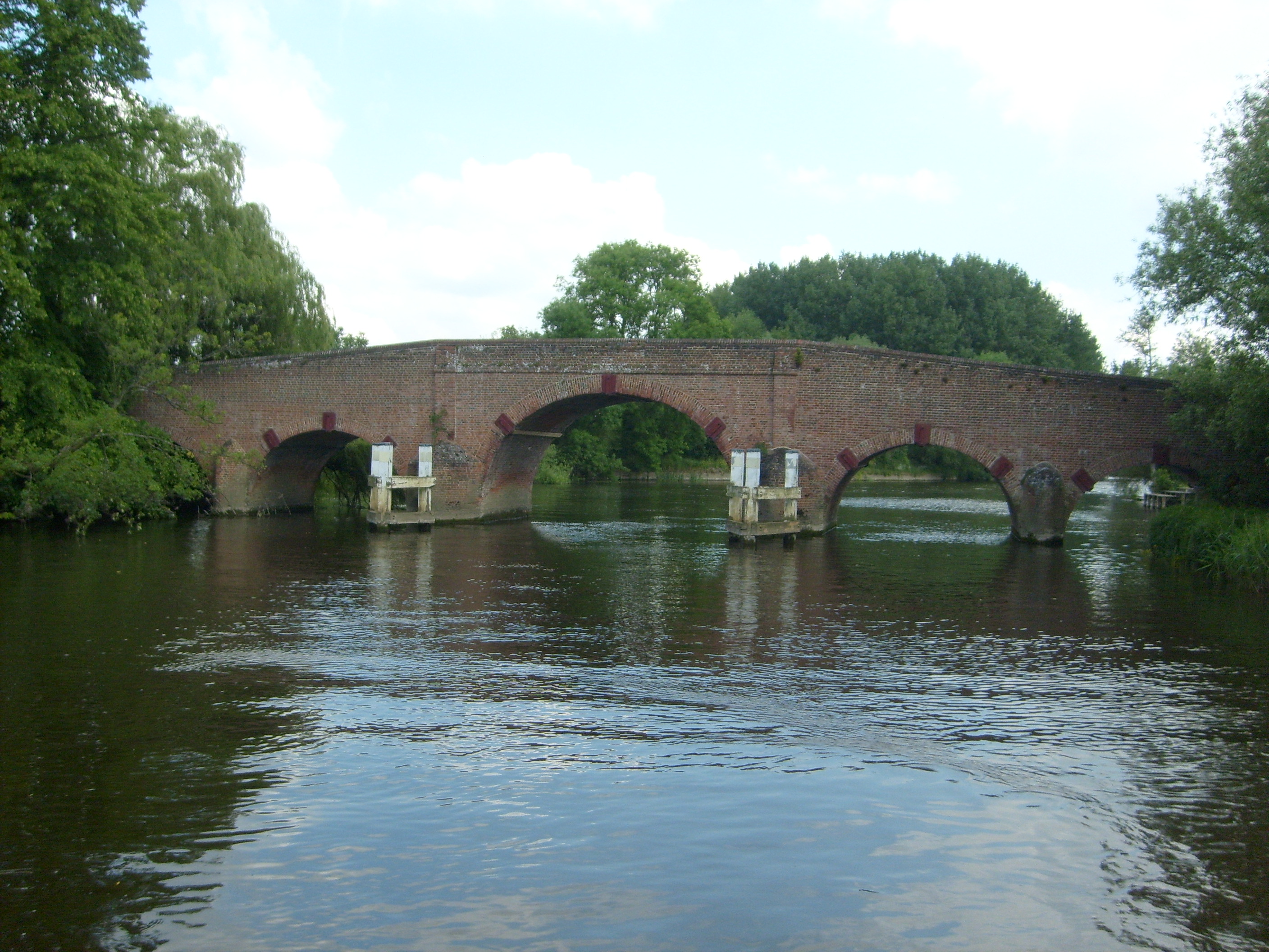
Sonning Bridge |

Class31 |
Monday 24th of June 2013 10:49:52 AM |