
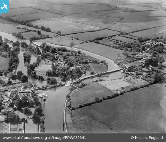
EPW032641 ENGLAND (1930). The River Thames, Sonning Bridge and the Backwater Bridges, Sonning Eye, 1930
© Copyright OpenStreetMap contributors and licensed by the OpenStreetMap Foundation. 2026. Cartography is licensed as CC BY-SA.
Nearby Images (7)
EPW032641

EAW015543

EPW032520

EAW015542

EPW032658

EPW032642

EPW036209

Details
| Title | [EPW032641] The River Thames, Sonning Bridge and the Backwater Bridges, Sonning Eye, 1930 |
| Reference | EPW032641 |
| Date | June-1930 |
| Link | |
| Place name | SONNING EYE |
| Parish | EYE AND DUNSDEN |
| District | |
| Country | ENGLAND |
| Easting / Northing | 475359, 175785 |
| Longitude / Latitude | -0.91479745925131, 51.475514510412 |
| National Grid Reference | SU754758 |
Pins

Class31 |
Wednesday 28th of May 2014 01:45:19 PM | |
Robert Tims |
Tuesday 3rd of December 2013 03:54:07 PM |

User Comment Contributions
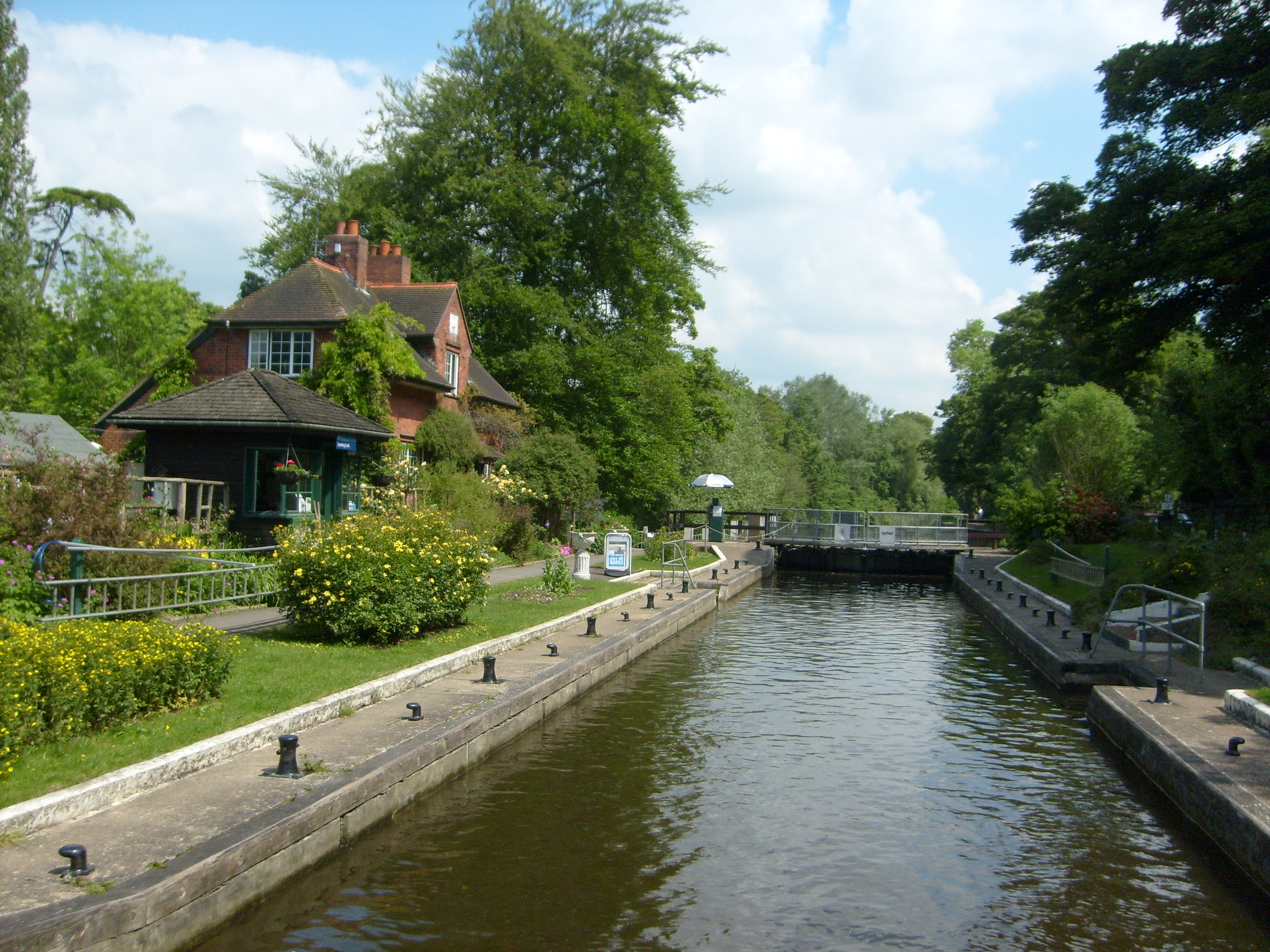
Sonning Lock |
Class31 |
Monday 24th of June 2013 10:47:35 AM |