
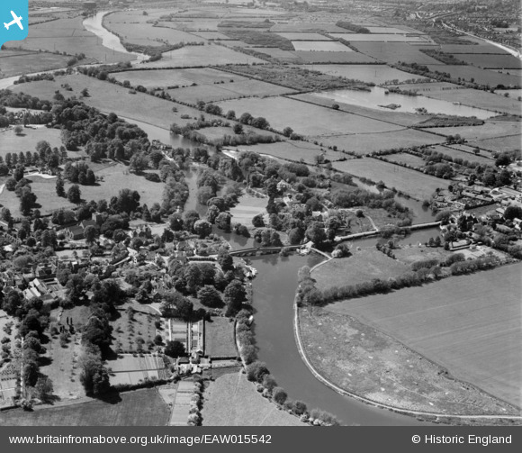
EAW015542 ENGLAND (1948). Sonning Bridge and environs, Sonning Eye, 1948
© Copyright OpenStreetMap contributors and licensed by the OpenStreetMap Foundation. 2026. Cartography is licensed as CC BY-SA.
Nearby Images (9)
EAW015542

EAW015543

EPW032520

EPW032641

EPW032658

EPW036209

EPW032659

EPW036208

EPW032643

Details
| Title | [EAW015542] Sonning Bridge and environs, Sonning Eye, 1948 |
| Reference | EAW015542 |
| Date | 14-May-1948 |
| Link | |
| Place name | SONNING EYE |
| Parish | EYE AND DUNSDEN |
| District | |
| Country | ENGLAND |
| Easting / Northing | 475439, 175722 |
| Longitude / Latitude | -0.91365910305693, 51.474937416975 |
| National Grid Reference | SU754757 |
Pins
Be the first to add a comment to this image!
User Comment Contributions
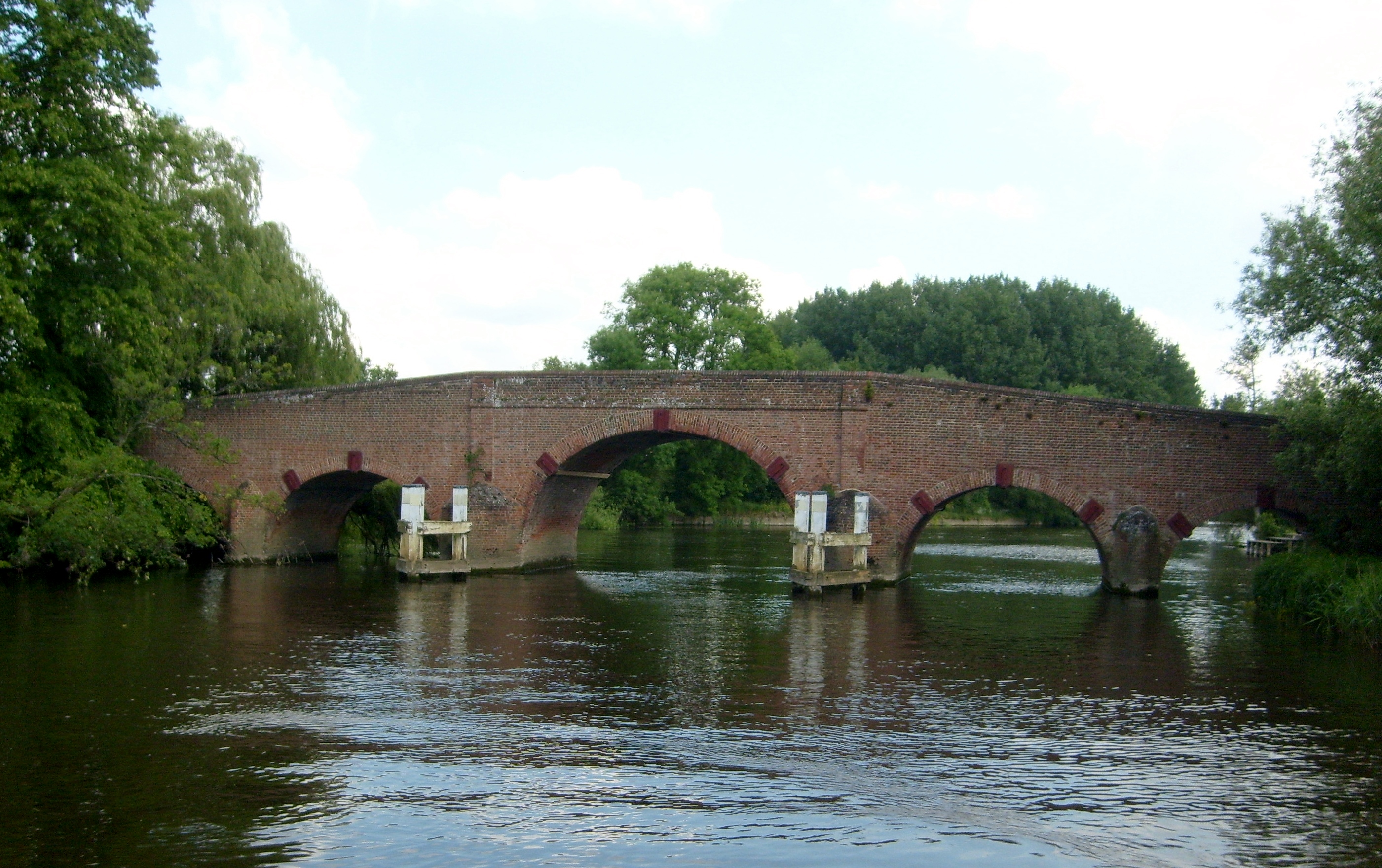
Sonning Bridge 29/05/2009 |

Class31 |
Wednesday 28th of May 2014 10:43:48 AM |