
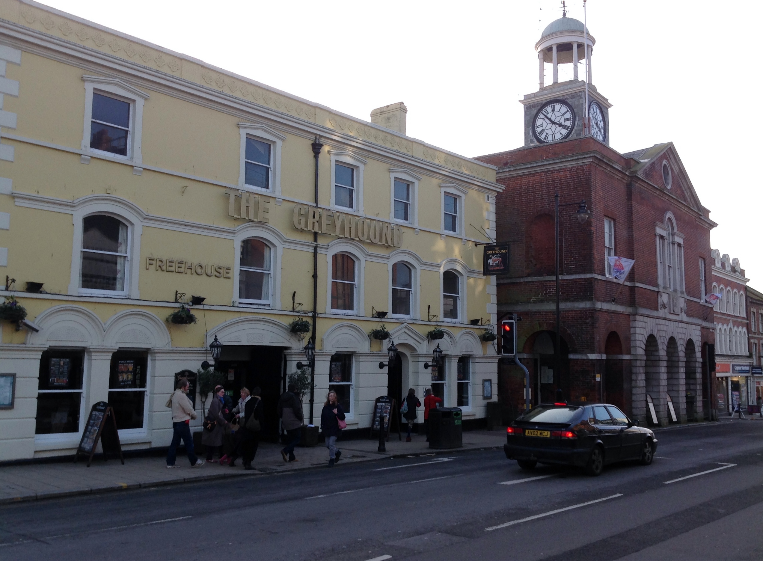
EPW024045 ENGLAND (1928). The town centre, Bridport, from the north-east, 1928

© Copyright OpenStreetMap contributors and licensed by the OpenStreetMap Foundation. 2026. Cartography is licensed as CC BY-SA.
Nearby Images (12)
EPW024045

EPW013519

EPW024040

EPW013517

EPW024177

EPW024042

EPW024054

EPW013520

EPW024052

EPW013518

EAW047110

EPW054829

Details
| Title | [EPW024045] The town centre, Bridport, from the north-east, 1928 |
| Reference | EPW024045 |
| Date | September-1928 |
| Link | |
| Place name | BRIDPORT |
| Parish | BRIDPORT |
| District | |
| Country | ENGLAND |
| Easting / Northing | 346694, 93032 |
| Longitude / Latitude | -2.7554377301308, 50.733881758142 |
| National Grid Reference | SY467930 |
Pins

Amanda Best |
Tuesday 6th of June 2023 12:22:40 AM | |

Alan McFaden |
Saturday 12th of April 2014 10:40:42 AM |

User Comment Contributions
The Town Hall 01/02/2014 |

Class31 |
Monday 3rd of February 2014 10:12:46 AM |