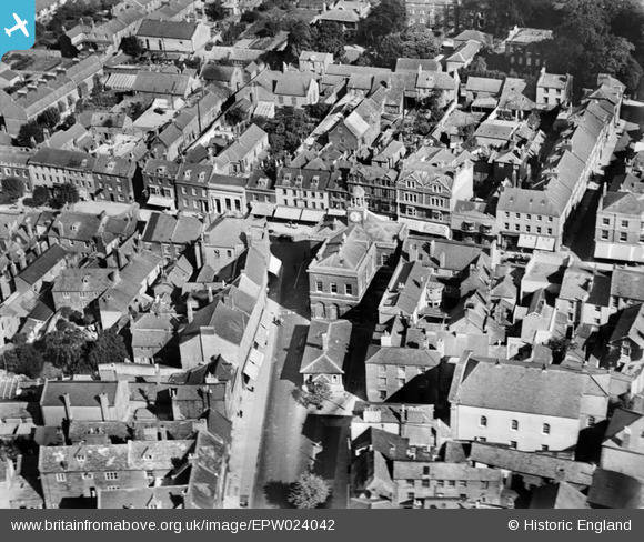
EPW024042 ENGLAND (1928). The Town Hall, Bridport, 1928
© Copyright OpenStreetMap contributors and licensed by the OpenStreetMap Foundation. 2026. Cartography is licensed as CC BY-SA.
Nearby Images (18)
EPW024042

EPW013517

EPW024177

EPW024040

EPW013519

EPW013518

EPW054829

EPW024045

EPW024044

EAW047110

EPW013516

EAW047109

EPW013521

EAW047114

EPW054828

EAW047112

EAW047108

EAW047111

Details
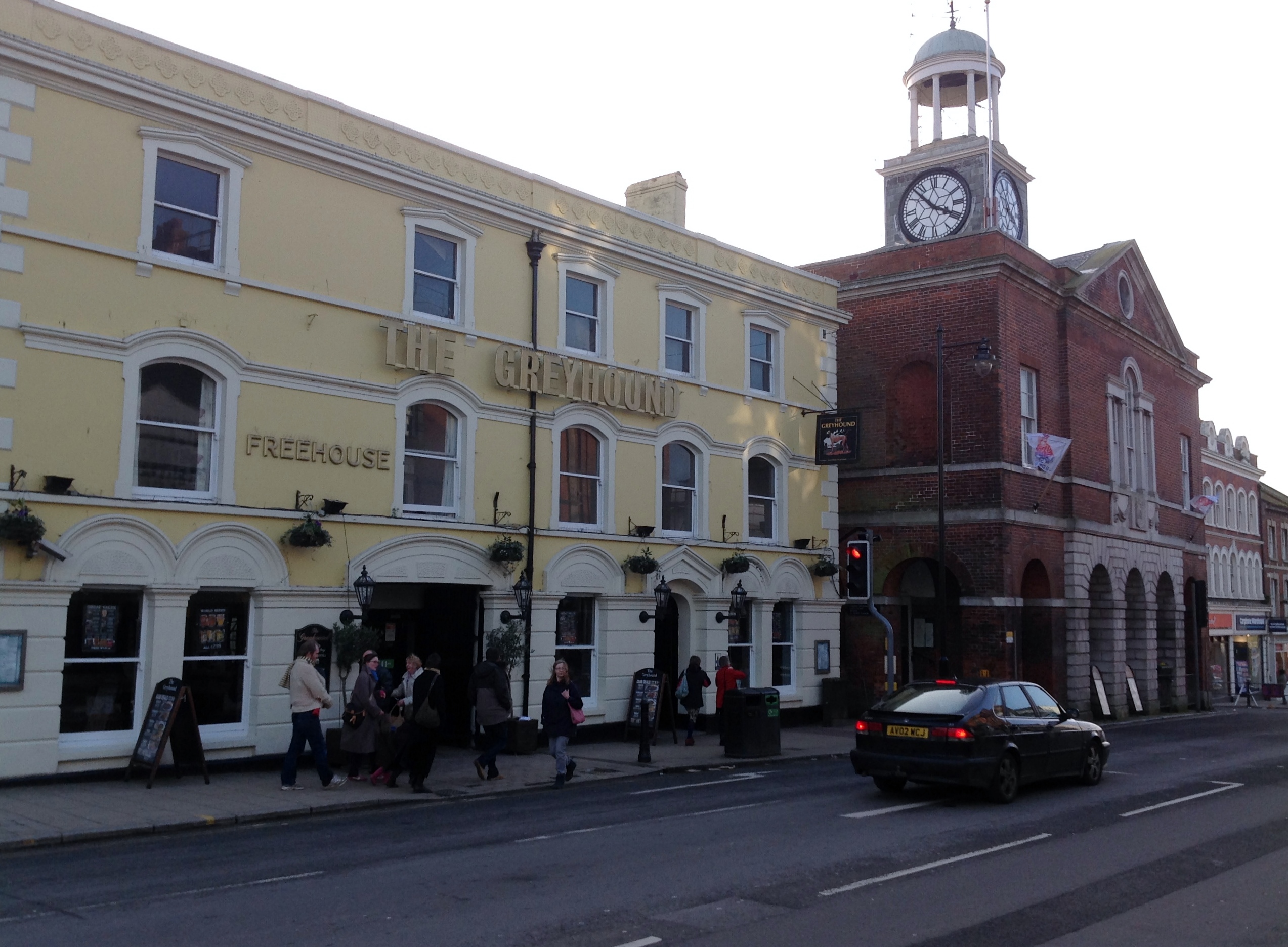
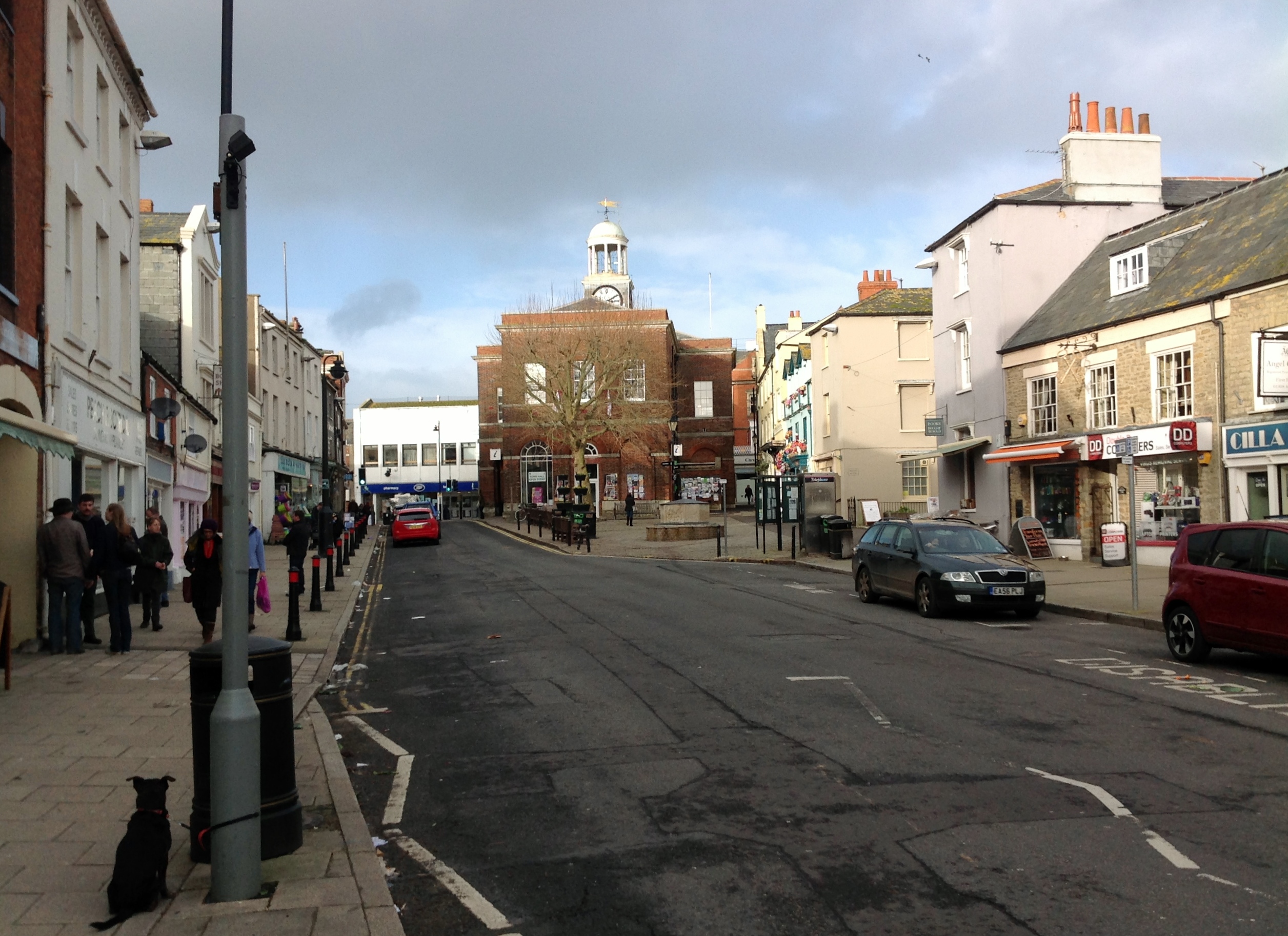
| Title | [EPW024042] The Town Hall, Bridport, 1928 |
| Reference | EPW024042 |
| Date | September-1928 |
| Link | |
| Place name | BRIDPORT |
| Parish | BRIDPORT |
| District | |
| Country | ENGLAND |
| Easting / Northing | 346583, 92919 |
| Longitude / Latitude | -2.7569942647527, 50.732855359265 |
| National Grid Reference | SY466929 |
Pins

Alan McFaden |
Saturday 12th of April 2014 10:31:34 AM | |
|
Alan McFaden |
Saturday 12th of April 2014 10:31:00 AM | |
|
Alan McFaden |
Saturday 12th of April 2014 10:21:50 AM | |

Class31 |
Monday 3rd of February 2014 09:50:08 AM |