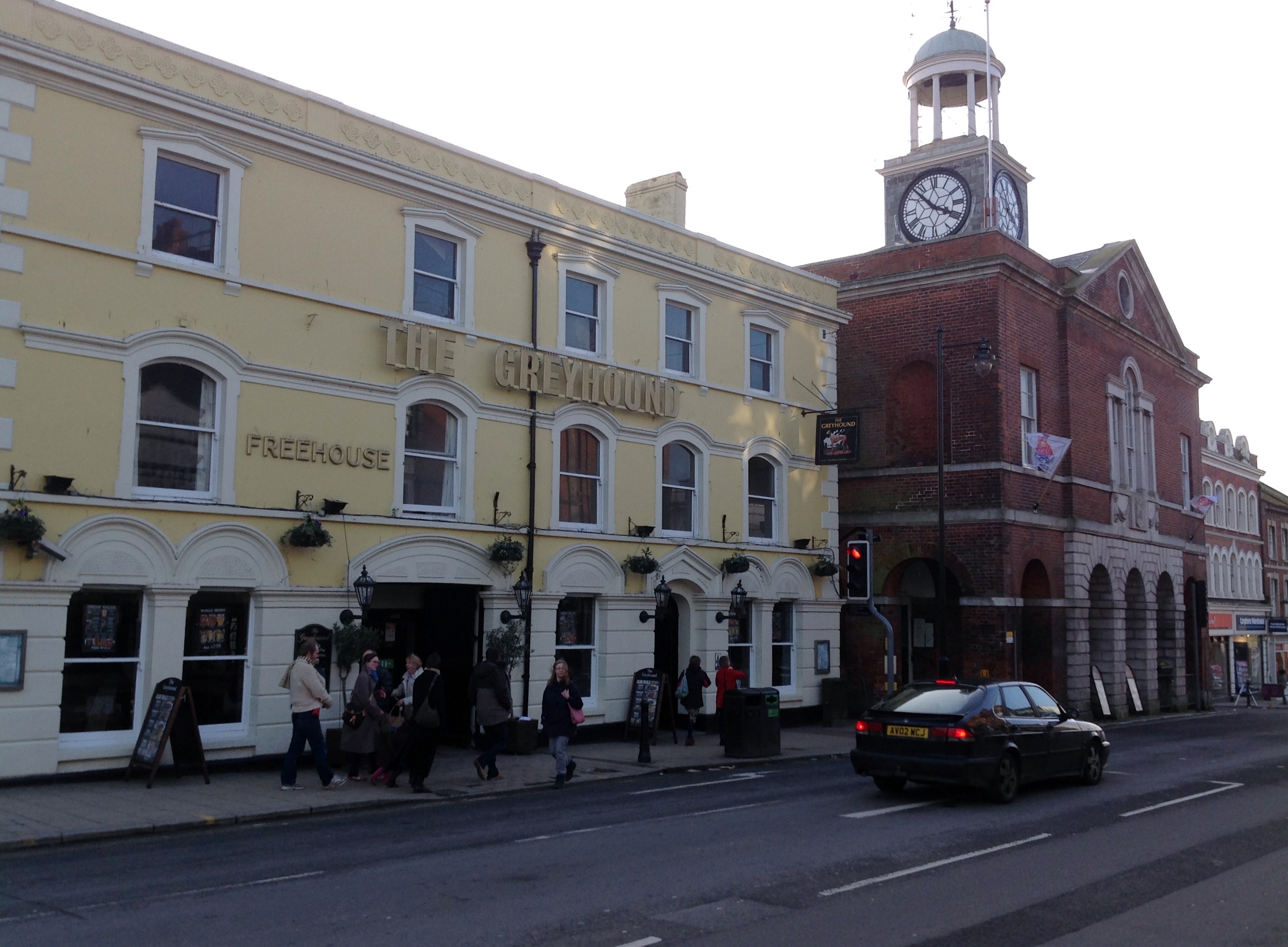
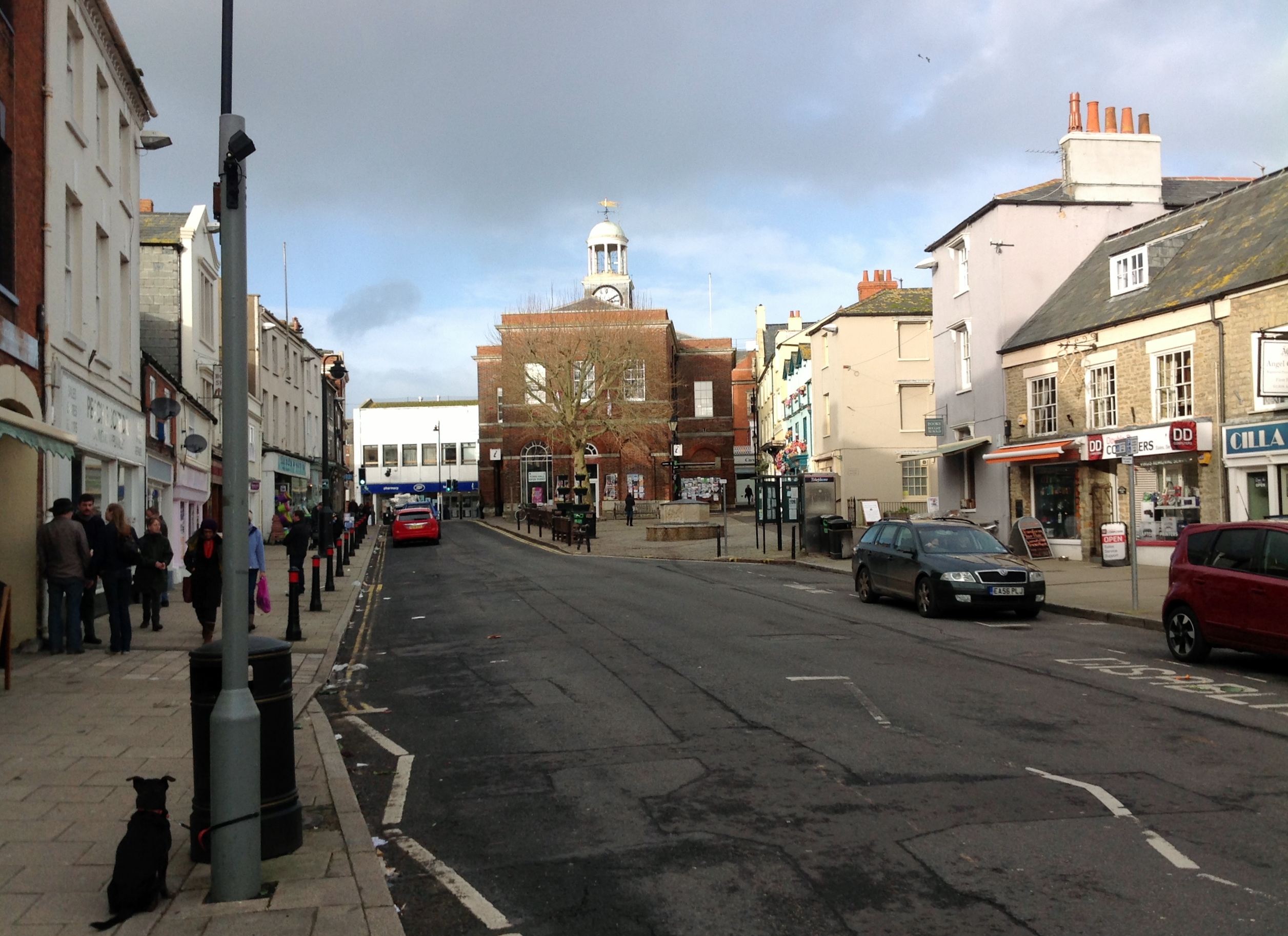
EPW024177 ENGLAND (1928). The Town Hall and environs, Bridport, 1928

© Copyright OpenStreetMap contributors and licensed by the OpenStreetMap Foundation. 2026. Cartography is licensed as CC BY-SA.
Nearby Images (18)
EPW024177

EPW013517

EPW024042

EPW024040

EPW013519

EPW013518

EPW054829

EPW024045

EPW024044

EPW013516

EAW047110

EPW054828

EPW013521

EAW047109

EAW047114

EAW047112

EAW047108

EAW047111

Details
| Title | [EPW024177] The Town Hall and environs, Bridport, 1928 |
| Reference | EPW024177 |
| Date | September-1928 |
| Link | |
| Place name | BRIDPORT |
| Parish | BRIDPORT |
| District | |
| Country | ENGLAND |
| Easting / Northing | 346597, 92913 |
| Longitude / Latitude | -2.756795013986, 50.732802689562 |
| National Grid Reference | SY466929 |
Pins

Alan McFaden |
Saturday 12th of April 2014 10:47:25 AM | |
|
Alan McFaden |
Saturday 12th of April 2014 10:47:03 AM | |

Class31 |
Monday 3rd of February 2014 11:01:39 AM | |

vof |
Saturday 4th of May 2013 12:11:56 AM | |
|
vof |
Saturday 4th of May 2013 12:10:09 AM | |
|
vof |
Friday 3rd of May 2013 11:54:05 PM | |
|
Alison Longman |
Thursday 19th of July 2012 10:09:53 PM | |
|
Alison Longman |
Thursday 19th of July 2012 10:09:30 PM | |
|
Alison Longman |
Thursday 19th of July 2012 10:08:27 PM |