
EPW013518 ENGLAND (1925). The town centre, Bridport, 1925

© Copyright OpenStreetMap contributors and licensed by the OpenStreetMap Foundation. 2026. Cartography is licensed as CC BY-SA.
Nearby Images (22)
EPW013518

EPW024044

EPW024042

EPW013517

EPW024177

EAW047110

EPW024040

EAW047109

EAW047114

EPW013519

EPW013521

EPW054829

EAW047112

EAW047108

EPW024045

EAW047111

EAW047113

EPW013516

EPW013522

EPW024054

EPW013520

EPW024052

Details
| Title | [EPW013518] The town centre, Bridport, 1925 |
| Reference | EPW013518 |
| Date | June-1925 |
| Link | |
| Place name | BRIDPORT |
| Parish | BRIDPORT |
| District | |
| Country | ENGLAND |
| Easting / Northing | 346505, 92953 |
| Longitude / Latitude | -2.7581044672445, 50.73315393728 |
| National Grid Reference | SY465930 |
Pins

Kentishman |
Monday 13th of January 2025 01:29:00 PM | |

Alan McFaden |
Saturday 12th of April 2014 10:46:13 AM | |
|
Alan McFaden |
Saturday 12th of April 2014 10:45:44 AM | |

Class31 |
Monday 3rd of February 2014 10:36:05 AM | |
|
Class31 |
Monday 3rd of February 2014 10:31:22 AM | |
|
vof |
Wednesday 12th of December 2012 01:11:49 AM | |
|
vof |
Wednesday 12th of December 2012 01:07:23 AM | |
|
vof |
Wednesday 12th of December 2012 12:43:46 AM | |
|
vof |
Wednesday 12th of December 2012 12:37:25 AM | |
|
vof |
Wednesday 12th of December 2012 12:34:31 AM | |
|
vof |
Wednesday 12th of December 2012 12:33:25 AM | |
|
vof |
Wednesday 12th of December 2012 12:28:12 AM | |
|
vof |
Wednesday 12th of December 2012 12:22:43 AM | |
|
vof |
Wednesday 12th of December 2012 12:21:14 AM | |
|
vof |
Wednesday 12th of December 2012 12:20:18 AM | |
|
vof |
Wednesday 12th of December 2012 12:19:38 AM | |
|
vof |
Wednesday 12th of December 2012 12:17:07 AM |


User Comment Contributions
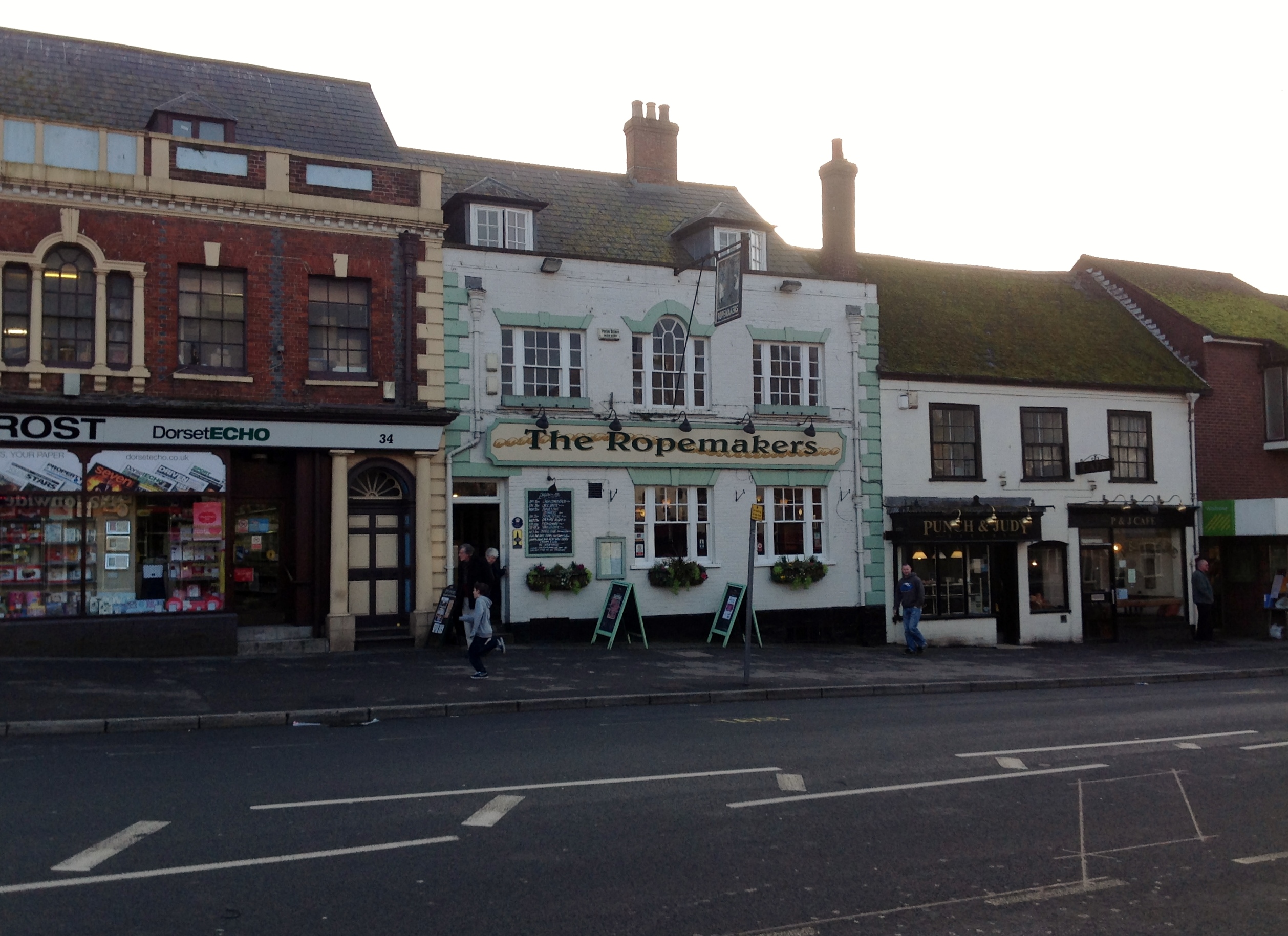
The Ropemakers PH, West Street 01/02/2014 |
Class31 |
Monday 3rd of February 2014 11:02:07 AM |
Previously known as The Sun Inn. |

clippedwings |
Monday 3rd of February 2014 11:02:07 AM |

Town Hall 01/02/2014 |
Class31 |
Monday 3rd of February 2014 10:34:11 AM |