
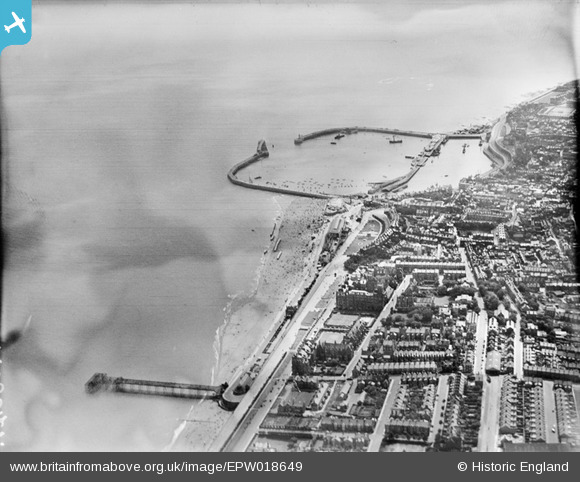
EPW018649 ENGLAND (1927). The Royal Harbour and Marina Pier, Ramsgate, 1927
© Copyright OpenStreetMap contributors and licensed by the OpenStreetMap Foundation. 2026. Cartography is licensed as CC BY-SA.
Nearby Images (48)
EPW018649

EPW009174

EAW017591

EPW042859

EAW009054

EPW009175

EPW042861

EAW009055

EAW024842

EAW009004

EAW006167

EPW009172

EPW009173

EAW009015

EAW024844

EAW009052

EAW009014

EPW039325

EPW000087

EPW035453

EAW009056

EAW024843

EAW009058

EAW006169

EAW009051

EAW006166

EPW039353

EAW006170

EPW000093

EAW009053

EPW039324

EPW000599

EAW006171

EPW000596

EPW039394

EPW042864

EAW006168

EAW009057

EAW009005

EPW048783

EPW035450

EPW018646

EAW017590

EPW000096

EAW020486

EAW009049

EAW009063

EPW000600

Details
| Title | [EPW018649] The Royal Harbour and Marina Pier, Ramsgate, 1927 |
| Reference | EPW018649 |
| Date | 22-June-1927 |
| Link | |
| Place name | RAMSGATE |
| Parish | RAMSGATE |
| District | |
| Country | ENGLAND |
| Easting / Northing | 638756, 164749 |
| Longitude / Latitude | 1.4277822331991, 51.331121131347 |
| National Grid Reference | TR388647 |
Pins

Andyreno205 |
Monday 23rd of February 2026 12:29:42 PM |
User Comment Contributions

George 1V Monument |

Alan McFaden |
Thursday 4th of December 2014 06:36:55 PM |

Albion Place Gardens |
Alan McFaden |
Thursday 4th of December 2014 06:36:12 PM |
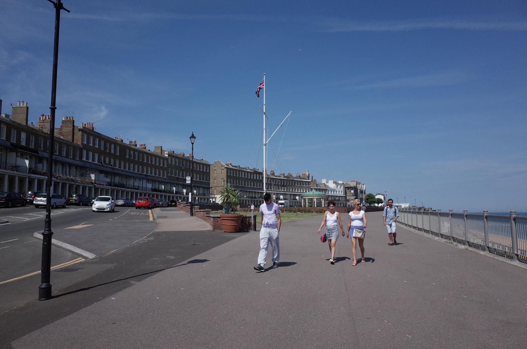
Ramsgate Wellington Cresent Area |
Alan McFaden |
Thursday 4th of December 2014 06:35:34 PM |
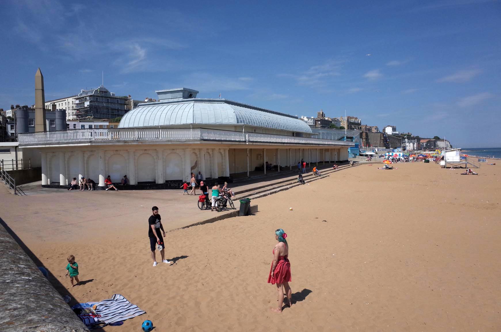
Ramsgate Beach |
Alan McFaden |
Thursday 4th of December 2014 06:34:57 PM |

Ramsgate Harbour |
Alan McFaden |
Thursday 4th of December 2014 06:34:19 PM |