
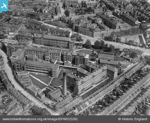
EPW015281 ENGLAND (1926). The Leicester Royal Infirmary and Prison, Leicester, 1926
© Copyright OpenStreetMap contributors and licensed by the OpenStreetMap Foundation. 2026. Cartography is licensed as CC BY-SA.
Nearby Images (6)
EPW015281

EPW015279

EPW015282

EPW015280

EAW051829

EPW018426

Details
| Title | [EPW015281] The Leicester Royal Infirmary and Prison, Leicester, 1926 |
| Reference | EPW015281 |
| Date | 20-April-1926 |
| Link | |
| Place name | LEICESTER |
| Parish | |
| District | |
| Country | ENGLAND |
| Easting / Northing | 458703, 303590 |
| Longitude / Latitude | -1.1326493505799, 52.626539482822 |
| National Grid Reference | SK587036 |
Pins

Hazycosmicvibe |
Friday 26th of June 2015 05:36:08 PM | |
|
Hazycosmicvibe |
Friday 26th of June 2015 05:34:37 PM | |
|
Hazycosmicvibe |
Friday 26th of June 2015 05:34:10 PM | |
|
Hazycosmicvibe |
Friday 26th of June 2015 05:33:18 PM | |
|
davewig |
Sunday 19th of October 2014 07:41:02 PM | |
|
Underwood55 |
Tuesday 11th of December 2012 08:26:42 PM | |
|
Underwood55 |
Tuesday 11th of December 2012 08:26:01 PM |
User Comment Contributions
Must have been taken very early in the morning as there is no queue for the car park yet! |
Timboishere |
Thursday 28th of June 2012 02:26:36 PM |