
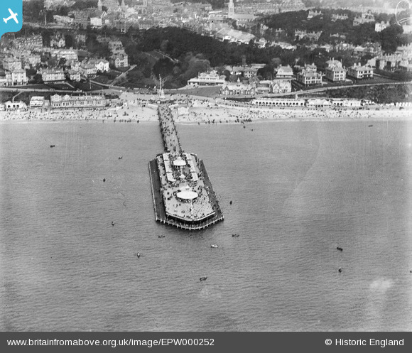
EPW000252 ENGLAND (1920). The Pier, Bournemouth, 1920
© Copyright OpenStreetMap contributors and licensed by the OpenStreetMap Foundation. 2026. Cartography is licensed as CC BY-SA.
Nearby Images (26)
EPW000252

EPW041047

EPR000661

EPW013551

EPW041046

EPW037422

EAW050053

EPW000261

EAW049056

EPW000253

EPW037418

EAW050052

EPW061510

EAW034624

EAW018154

EPW013553

EPW018167

EPW018164

EPW013560

EPW018155

EPW041041

EPW000266

EPW013552

EAW002993

EAW035603

EAW034625

Details
| Title | [EPW000252] The Pier, Bournemouth, 1920 |
| Reference | EPW000252 |
| Date | April-1920 |
| Link | |
| Place name | BOURNEMOUTH |
| Parish | |
| District | |
| Country | ENGLAND |
| Easting / Northing | 408947, 90551 |
| Longitude / Latitude | -1.8732601123597, 50.713946494364 |
| National Grid Reference | SZ089906 |
Pins
Be the first to add a comment to this image!
User Comment Contributions
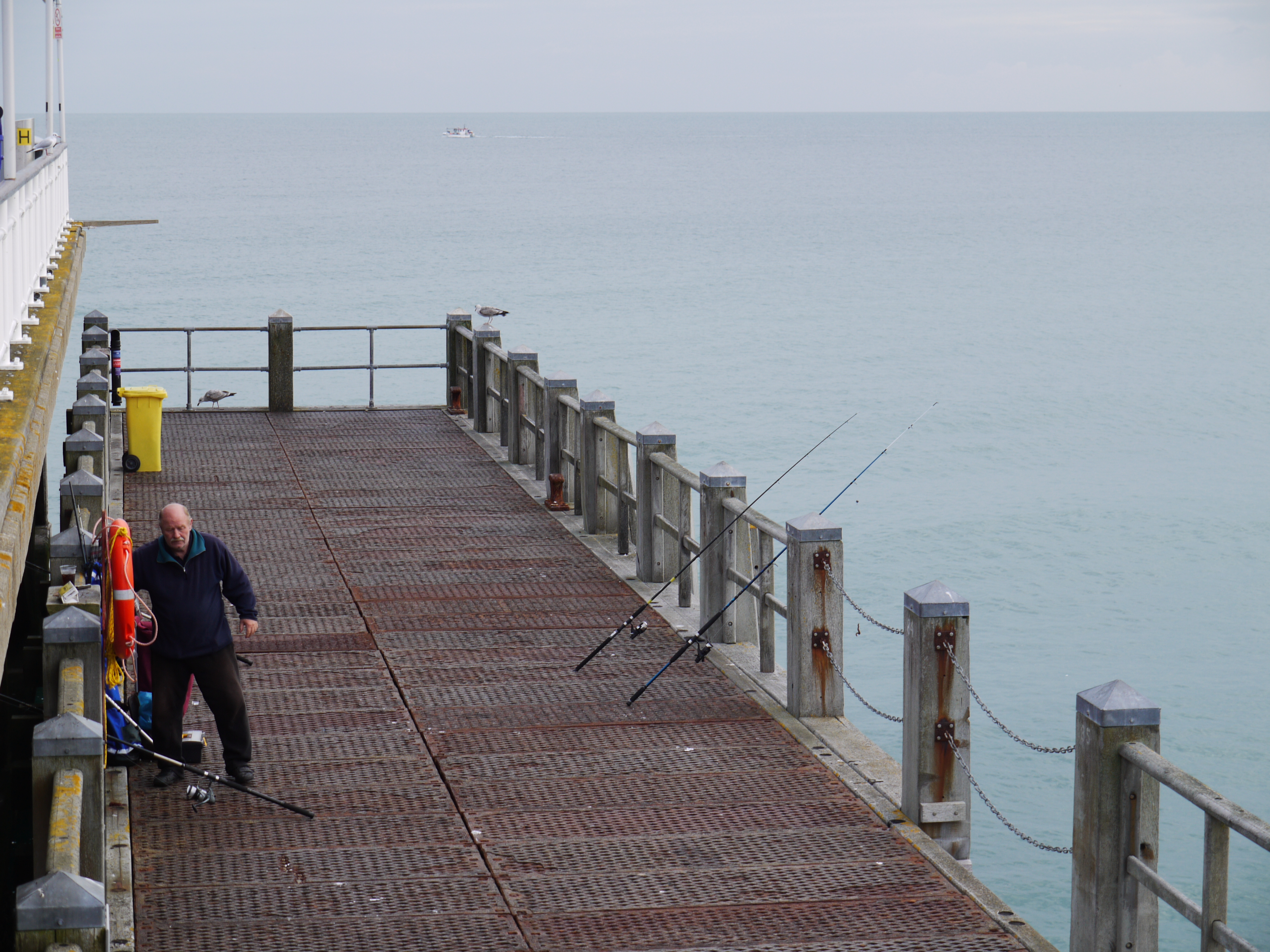
Bournemouth Pier, 15/10/2015 |

Class31 |
Monday 19th of October 2015 08:45:30 AM |
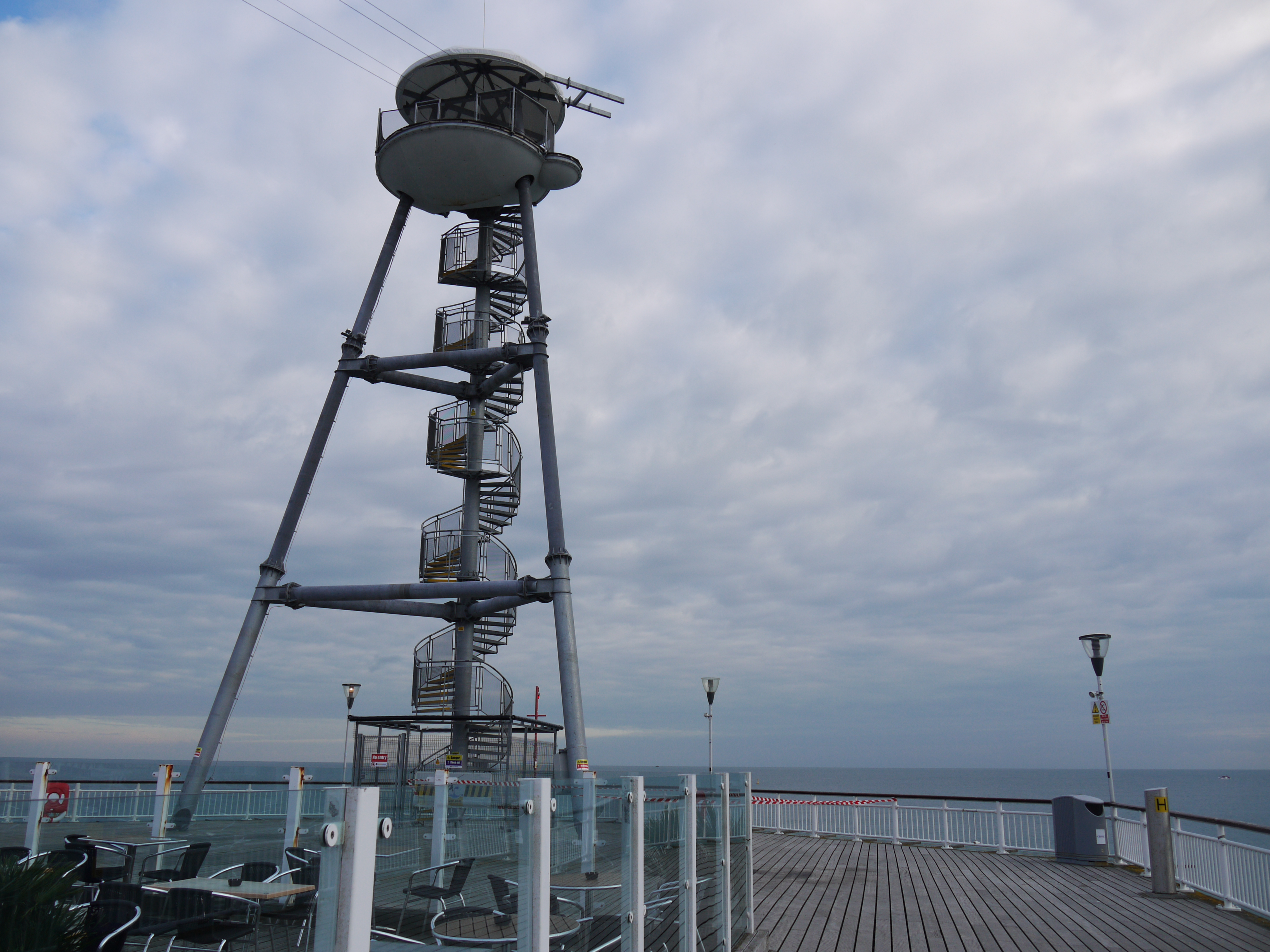
Bournemouth Pier, 15/10/2015 |
Class31 |
Monday 19th of October 2015 08:44:55 AM |
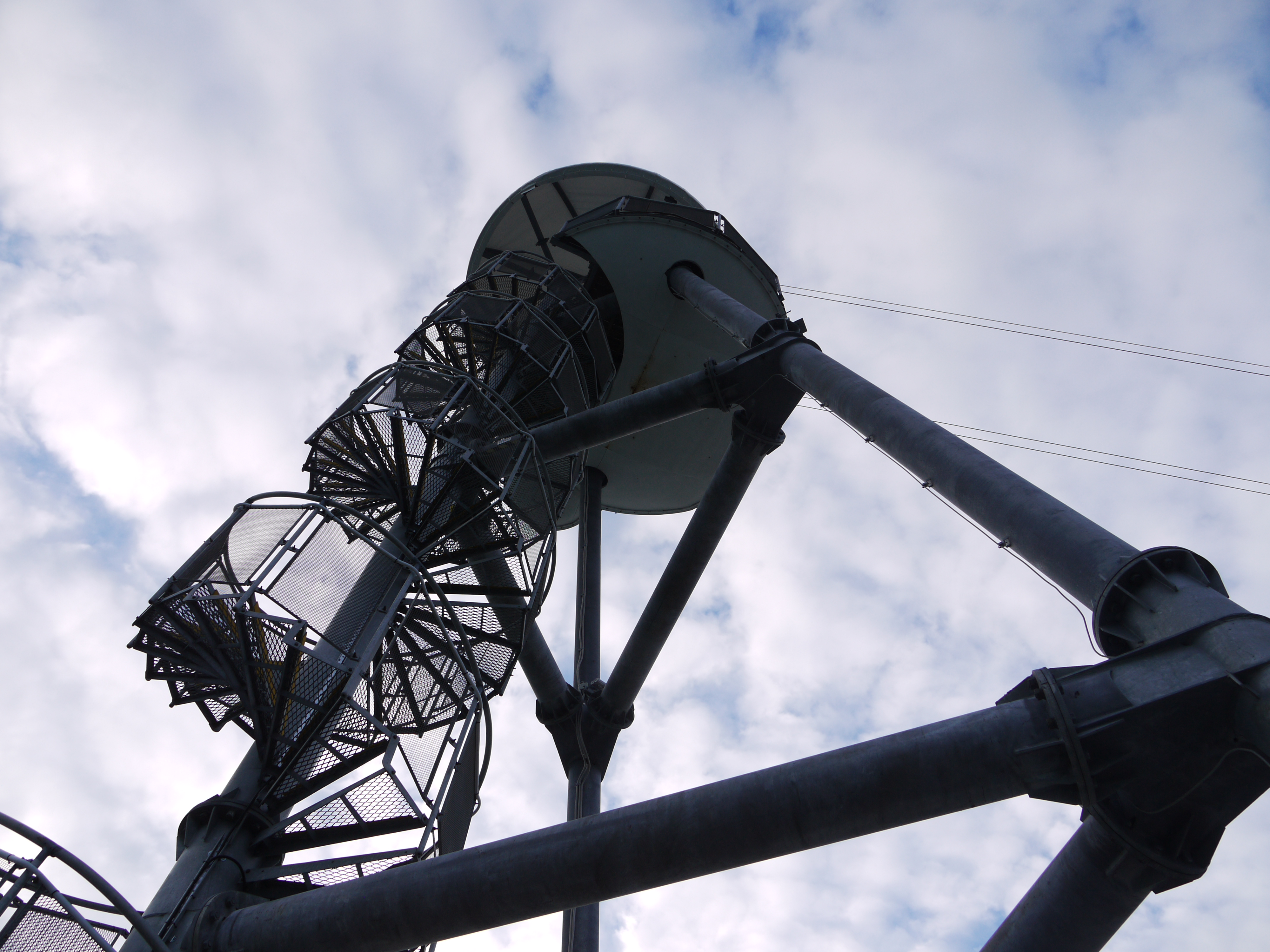
Bournemouth Pier, 15/10/2015 |
Class31 |
Monday 19th of October 2015 08:44:06 AM |
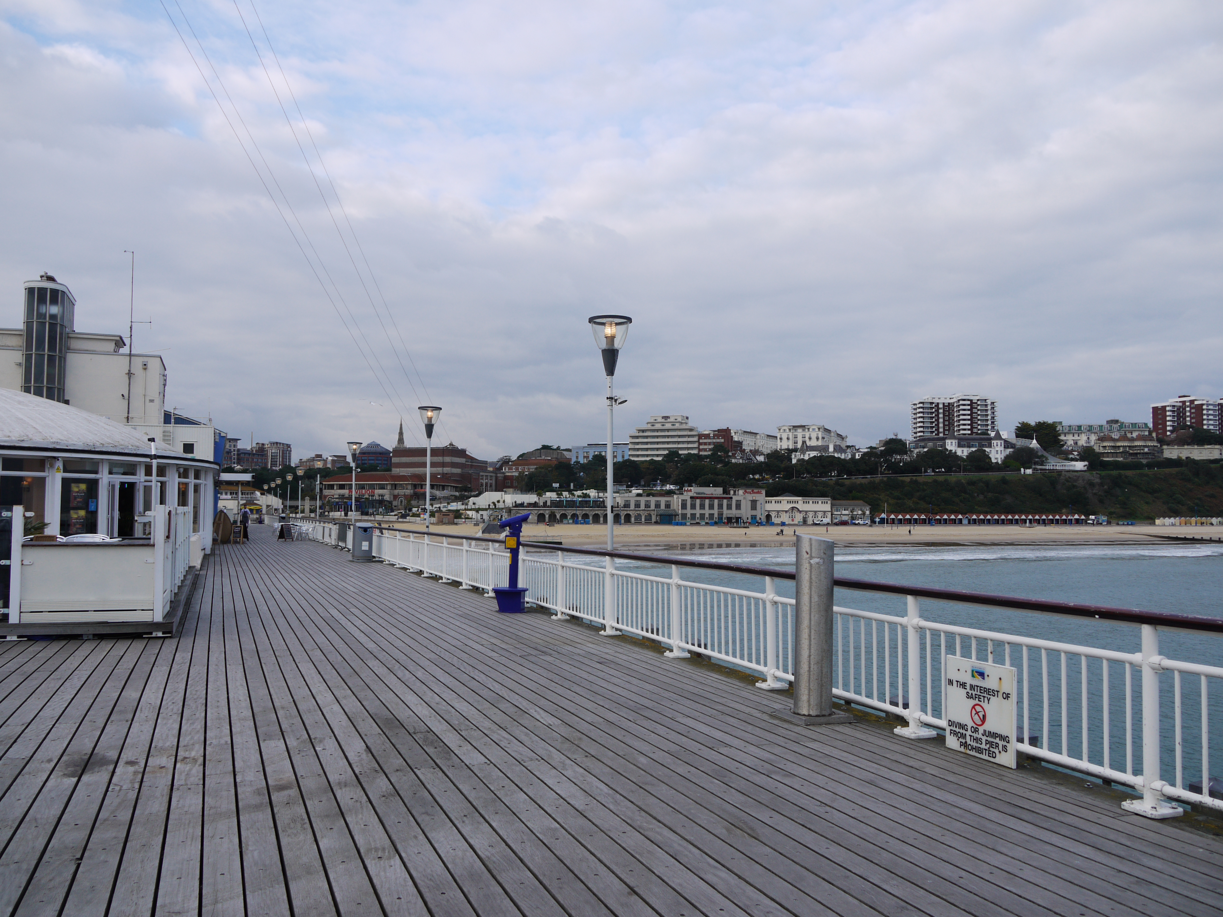
Bournemouth Pier, 15/10/2015 |
Class31 |
Monday 19th of October 2015 08:43:29 AM |
Bournemouth Pier, 15/10/2015 |
Class31 |
Monday 19th of October 2015 08:42:47 AM |
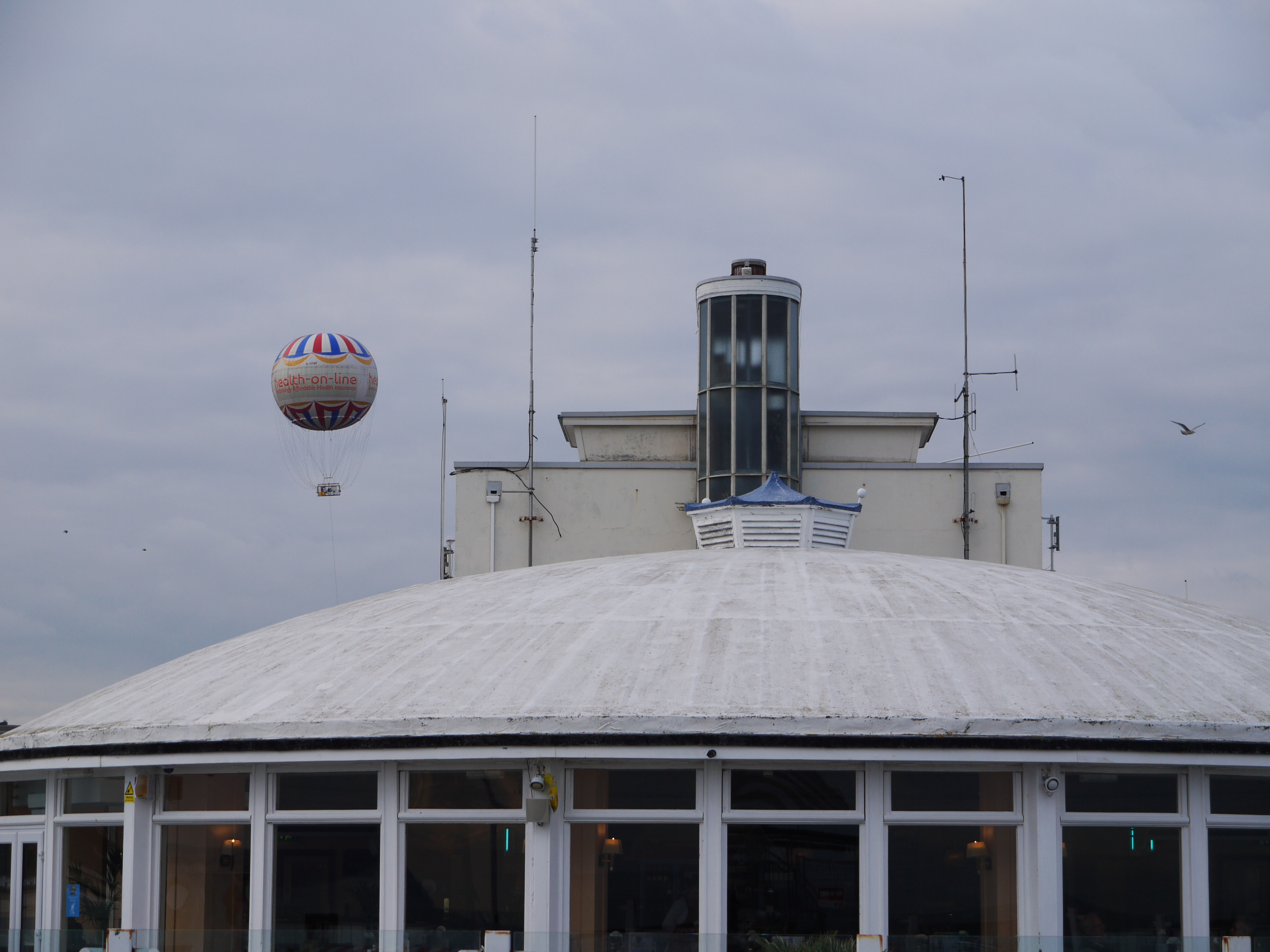
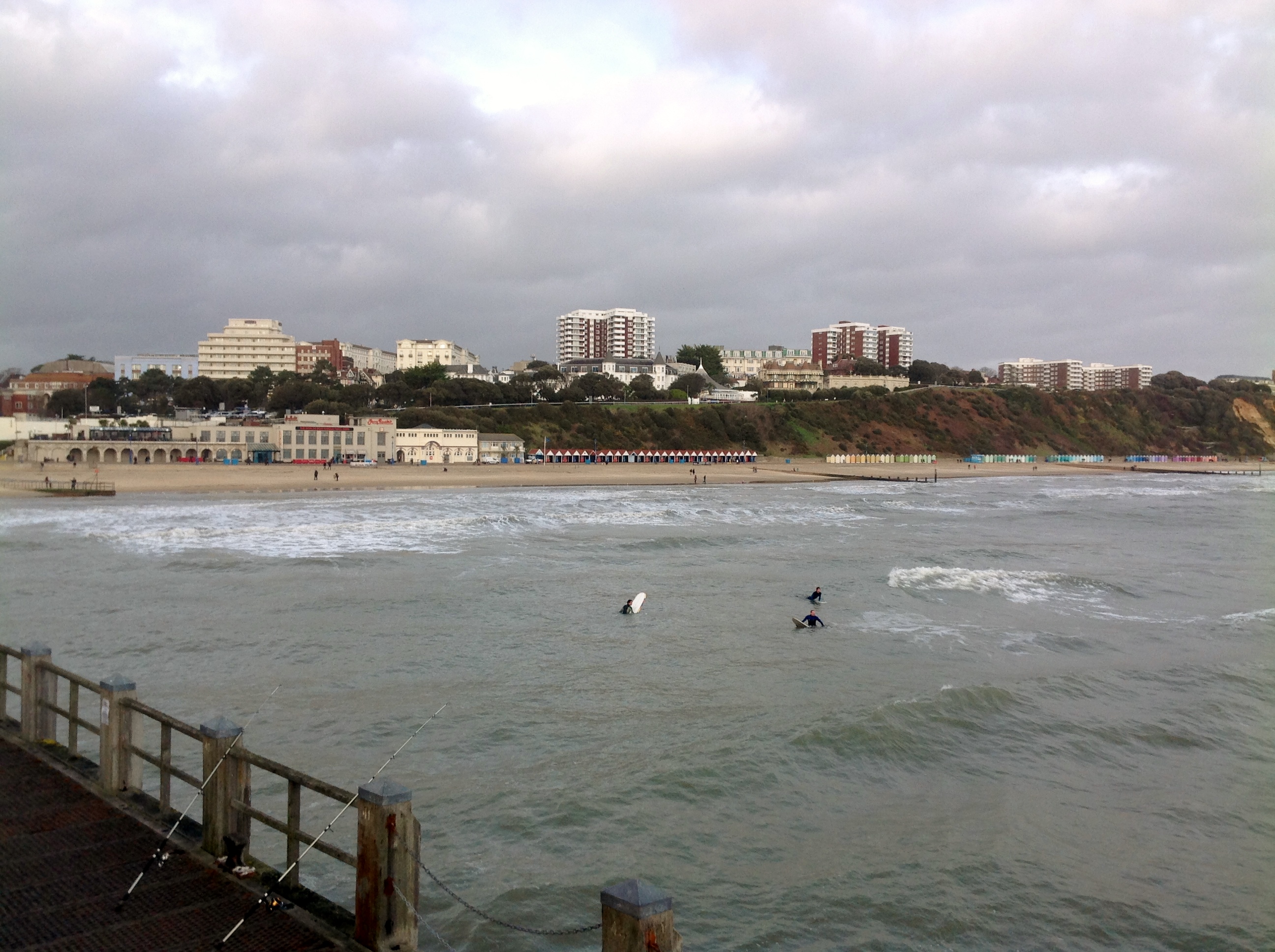
The pier, Bournemouth, 07/11/2014 |
Class31 |
Sunday 9th of November 2014 08:29:30 AM |
View from the pier, 07/11/2014 |
Class31 |
Sunday 9th of November 2014 08:27:25 AM |
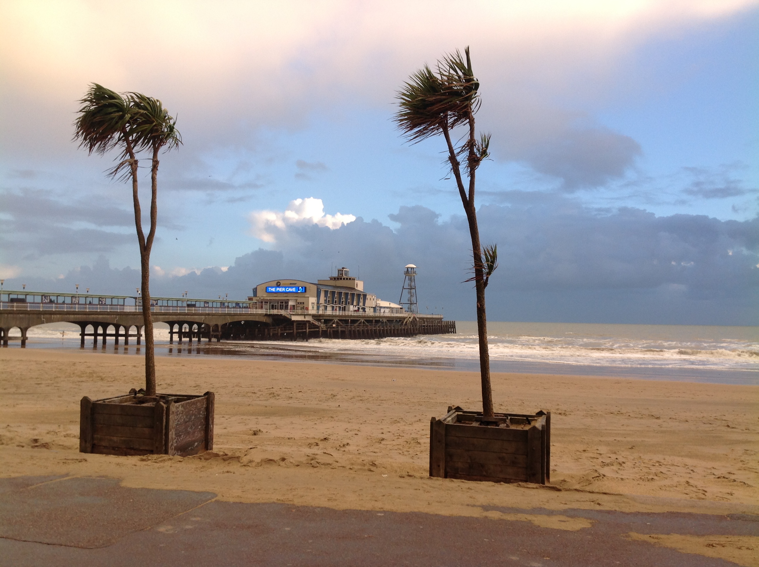
Looking north west from The Pier 25/01/2014 |
Class31 |
Sunday 26th of January 2014 02:28:19 PM |
Looking north east from The Pier 25/01/2014 |
Class31 |
Sunday 26th of January 2014 02:26:17 PM |
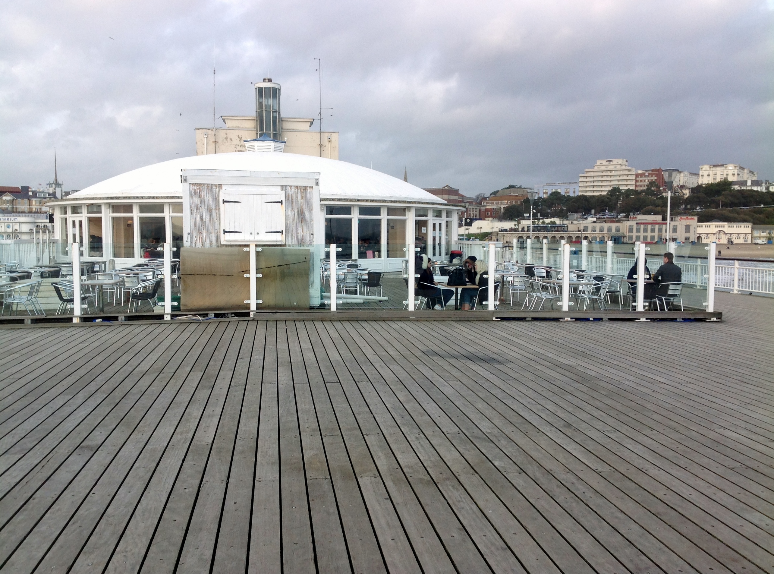
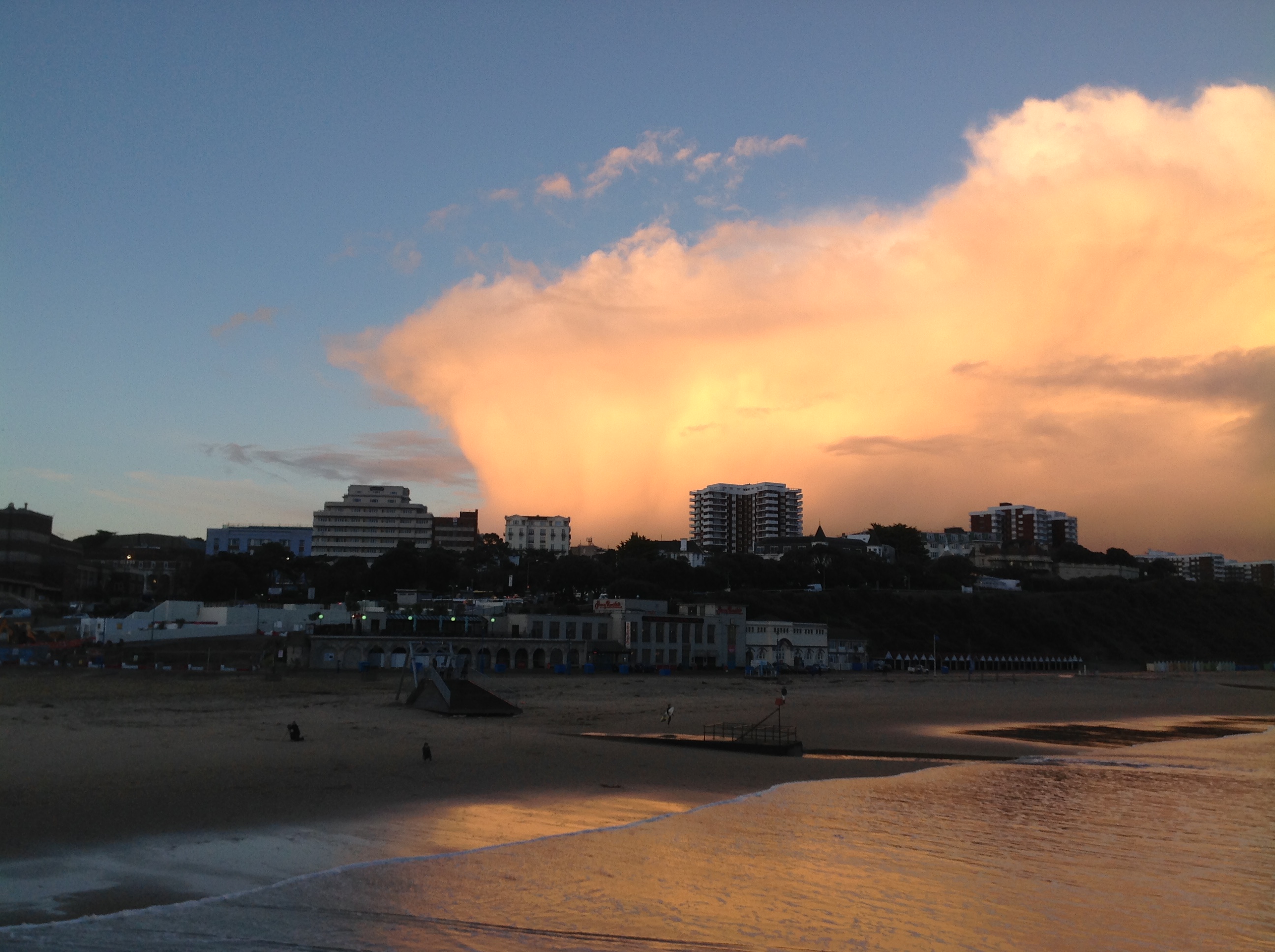
The end of The Pier looking north 25/01/2014 |
Class31 |
Sunday 26th of January 2014 02:24:38 PM |