
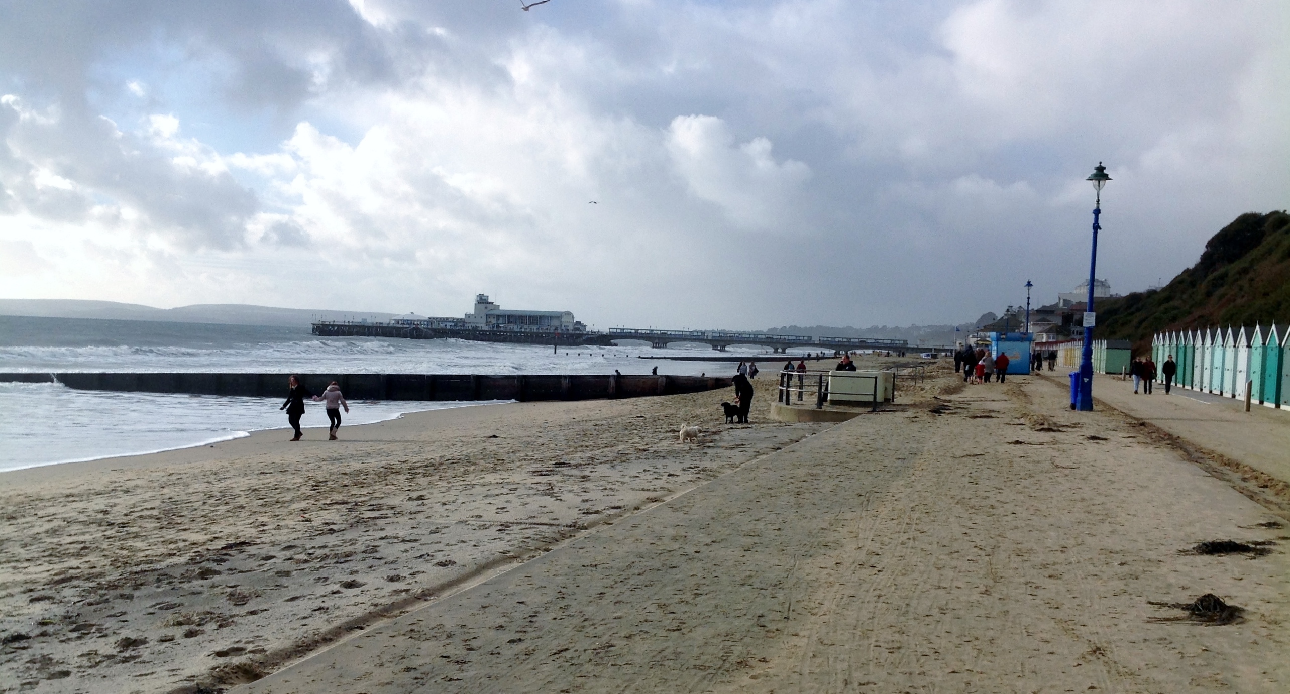
EPW041041 ENGLAND (1933). The seafront and town, Bournemouth, from the south-east, 1933

© Copyright OpenStreetMap contributors and licensed by the OpenStreetMap Foundation. 2026. Cartography is licensed as CC BY-SA.
Nearby Images (17)
EPW041041

EAW035603

EPW061510

EAW034625

EPW037422

EAW050052

EPW041046

EAW049057

EAW034624

EPW041047

EPW000252

EPW018162

EAW018154

EPW013551

EPW013553

EPR000661

EPW013552

Details
| Title | [EPW041041] The seafront and town, Bournemouth, from the south-east, 1933 |
| Reference | EPW041041 |
| Date | April-1933 |
| Link | |
| Place name | BOURNEMOUTH |
| Parish | |
| District | |
| Country | ENGLAND |
| Easting / Northing | 409156, 90631 |
| Longitude / Latitude | -1.8702975181854, 50.714662734159 |
| National Grid Reference | SZ092906 |
Pins

Peter Kazmierczak |
Friday 13th of September 2013 11:05:25 PM | |
|
Peter Kazmierczak |
Friday 13th of September 2013 11:02:08 PM | |
|
Peter Kazmierczak |
Friday 13th of September 2013 11:01:35 PM | |
|
Peter Kazmierczak |
Friday 13th of September 2013 10:58:56 PM | |
|
Peter Kazmierczak |
Friday 13th of September 2013 10:57:45 PM |
User Comment Contributions
Bournemouth Pier and Beach 02/01/2014 12.30hrs |

Class31 |
Friday 3rd of January 2014 06:34:48 PM |