
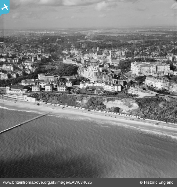
EAW034625 ENGLAND (1951). East Cliff Promenade, the Pleasure Gardens and the town, Bournemouth, from the south-east, 1951
© Copyright OpenStreetMap contributors and licensed by the OpenStreetMap Foundation. 2026. Cartography is licensed as CC BY-SA.
Nearby Images (16)
EAW034625

EAW035603

EAW049057

EPW018162

EAW002994

EPW041041

EPW061510

EPR000663

EPW013552

EAW034624

EAW018154

EPW041045

EPW037422

EPW041046

EPW041047

EPW000252

Details
| Title | [EAW034625] East Cliff Promenade, the Pleasure Gardens and the town, Bournemouth, from the south-east, 1951 |
| Reference | EAW034625 |
| Date | 7-February-1951 |
| Link | |
| Place name | BOURNEMOUTH |
| Parish | |
| District | |
| Country | ENGLAND |
| Easting / Northing | 409184, 90794 |
| Longitude / Latitude | -1.8698968173219, 50.716128264219 |
| National Grid Reference | SZ092908 |
Pins
Be the first to add a comment to this image!