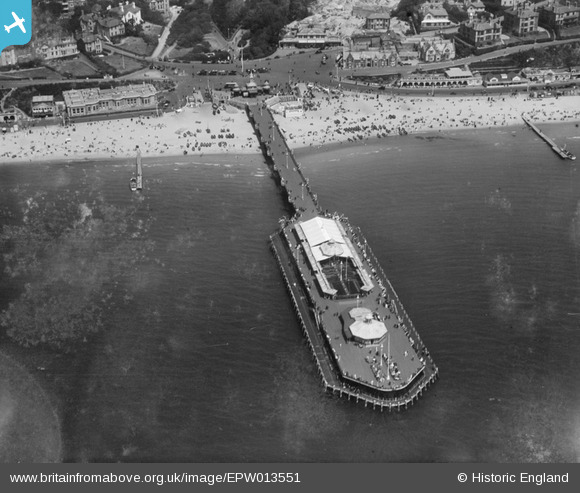
EPW013551 ENGLAND (1925). The Pier, Bournemouth, 1925
© Copyright OpenStreetMap contributors and licensed by the OpenStreetMap Foundation. 2026. Cartography is licensed as CC BY-SA.
Nearby Images (25)
EPW013551

EPR000661

EAW050053

EPW000252

EPW041047

EPW000261

EAW049056

EPW041046

EPW000253

EPW037422

EPW037418

EPW018164

EPW018167

EAW034624

EPW061510

EAW018154

EPW013553

EAW050052

EPW013560

EPW018155

EPW000266

EPW013552

EAW002993

EPW041041

EAW035603

Details
| Title | [EPW013551] The Pier, Bournemouth, 1925 |
| Reference | EPW013551 |
| Date | June-1925 |
| Link | |
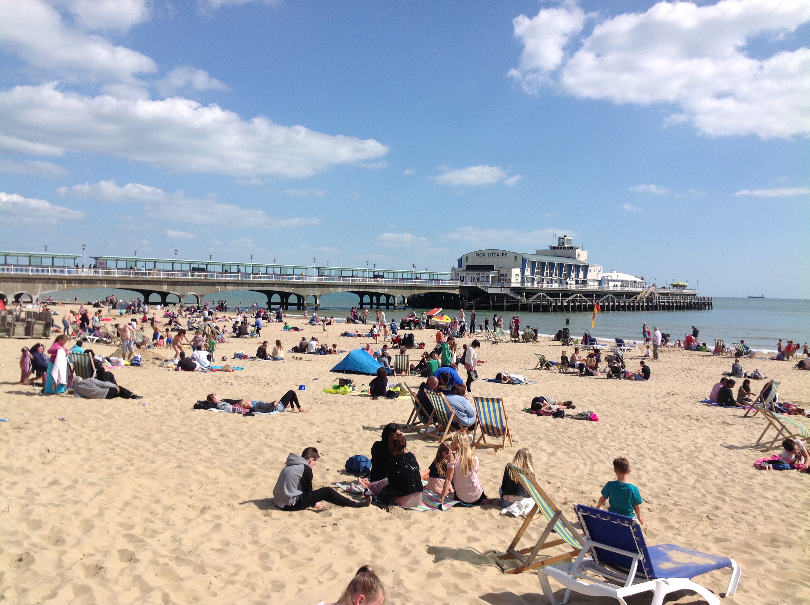
| Place name | BOURNEMOUTH |
| Parish | |
| District | |
| Country | ENGLAND |
| Easting / Northing | 408914, 90561 |
| Longitude / Latitude | -1.8737273352865, 50.71403693853 |
| National Grid Reference | SZ089906 |
Pins
Be the first to add a comment to this image!