
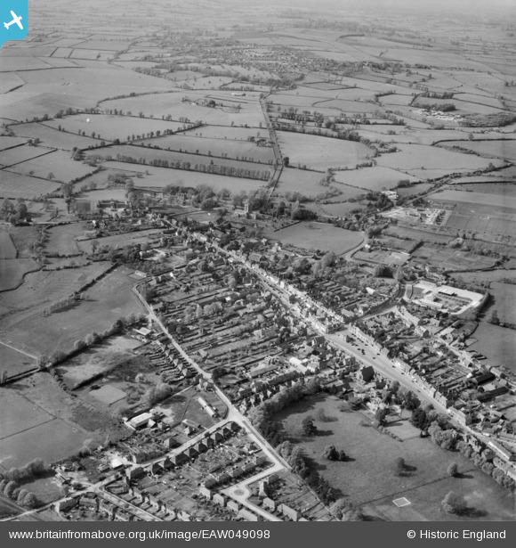
EAW049098 ENGLAND (1953). The town, Thame, 1953
© Copyright OpenStreetMap contributors and licensed by the OpenStreetMap Foundation. 2025. Cartography is licensed as CC BY-SA.
Nearby Images (16)
EAW049098

EAW002765

EAW032544

EAW032545

EAW032555

EAW002764

EAW032559

EAW032551

EAW032553

EAW032554

EAW032557

EAW032552

EAW032556

EAW032558

EPW017838

EAW049099

Details
| Title | [EAW049098] The town, Thame, 1953 |
| Reference | EAW049098 |
| Date | 5-May-1953 |
| Link | |
| Place name | THAME |
| Parish | THAME |
| District | |
| Country | ENGLAND |
| Easting / Northing | 470512, 206078 |
| Longitude / Latitude | -0.9784883156899, 51.74850128955 |
| National Grid Reference | SP705061 |
Pins
Be the first to add a comment to this image!