
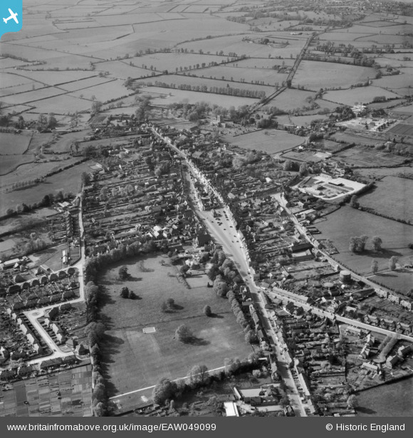
EAW049099 ENGLAND (1953). The town, Thame, 1953
© Copyright OpenStreetMap contributors and licensed by the OpenStreetMap Foundation. 2025. Cartography is licensed as CC BY-SA.
Nearby Images (5)
EAW049099

EAW032543

EAW032545

EAW032544

EAW049098

Details
| Title | [EAW049099] The town, Thame, 1953 |
| Reference | EAW049099 |
| Date | 5-May-1953 |
| Link | |
| Place name | THAME |
| Parish | THAME |
| District | |
| Country | ENGLAND |
| Easting / Northing | 470718, 205844 |
| Longitude / Latitude | -0.97555209008699, 51.746371496943 |
| National Grid Reference | SP707058 |
Pins
Be the first to add a comment to this image!