
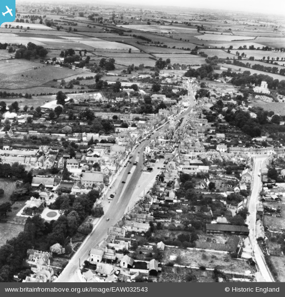
EAW032543 ENGLAND (1950). The town centre, Thame, from the south-east, 1950. This image has been produced from a print.
© Copyright OpenStreetMap contributors and licensed by the OpenStreetMap Foundation. 2025. Cartography is licensed as CC BY-SA.
Nearby Images (5)
EAW032543

EAW049099

EPW017836

EAW032545

EAW032544

Details
| Title | [EAW032543] The town centre, Thame, from the south-east, 1950. This image has been produced from a print. |
| Reference | EAW032543 |
| Date | 12-September-1950 |
| Link | |
| Place name | THAME |
| Parish | THAME |
| District | |
| Country | ENGLAND |
| Easting / Northing | 470820, 205774 |
| Longitude / Latitude | -0.97408899177432, 51.745729262144 |
| National Grid Reference | SP708058 |
Pins
Be the first to add a comment to this image!