
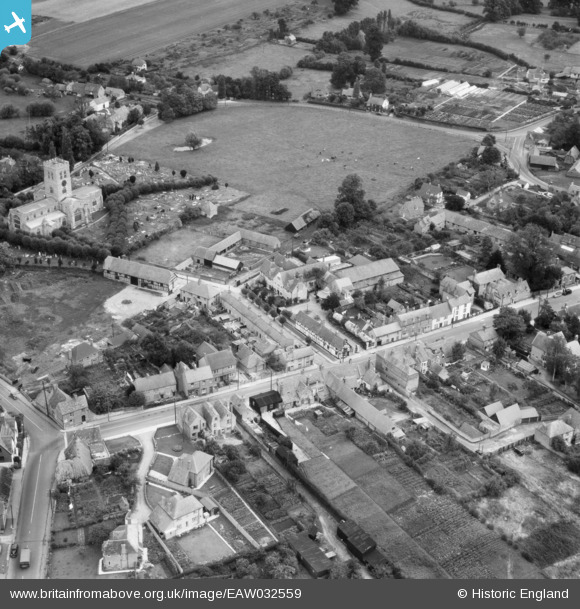
EAW032559 ENGLAND (1950). St Mary's Church and Church Road, Thame, 1950
© Copyright OpenStreetMap contributors and licensed by the OpenStreetMap Foundation. 2025. Cartography is licensed as CC BY-SA.
Nearby Images (15)
EAW032559

EAW032557

EAW032555

EAW032554

EAW032551

EAW032556

EAW032558

EAW032552

EAW032553

EPW017838

EAW002765

EAW002764

EAW049098

EAW032544

EAW032545

Details
| Title | [EAW032559] St Mary's Church and Church Road, Thame, 1950 |
| Reference | EAW032559 |
| Date | 12-September-1950 |
| Link | |
| Place name | THAME |
| Parish | THAME |
| District | |
| Country | ENGLAND |
| Easting / Northing | 470369, 206189 |
| Longitude / Latitude | -0.98053714356188, 51.749517241488 |
| National Grid Reference | SP704062 |
Pins
Be the first to add a comment to this image!