
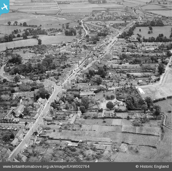
EAW002764 ENGLAND (1946). The town centre, Thame, from the north-west, 1946
© Copyright OpenStreetMap contributors and licensed by the OpenStreetMap Foundation. 2025. Cartography is licensed as CC BY-SA.
Nearby Images (13)
EAW002764

EAW032553

EAW002765

EAW032555

EAW032554

EAW032559

EAW032557

EAW032556

EAW032558

EAW032551

EAW049098

EAW032552

EPW017838

Details
| Title | [EAW002764] The town centre, Thame, from the north-west, 1946 |
| Reference | EAW002764 |
| Date | 11-September-1946 |
| Link | |
| Place name | THAME |
| Parish | THAME |
| District | |
| Country | ENGLAND |
| Easting / Northing | 470342, 206055 |
| Longitude / Latitude | -0.98095534913096, 51.748315879153 |
| National Grid Reference | SP703061 |
Pins
Be the first to add a comment to this image!