
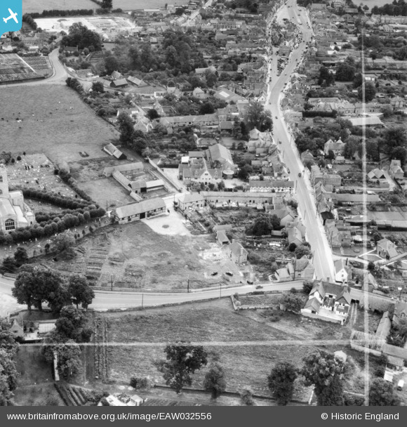
EAW032556 ENGLAND (1950). Church Road and the High Street, Thame, 1950. This image was marked by Aerofilms Ltd for photo editing.
© Copyright OpenStreetMap contributors and licensed by the OpenStreetMap Foundation. 2025. Cartography is licensed as CC BY-SA.
Nearby Images (13)
EAW032556

EAW032558

EAW032557

EAW032551

EAW032554

EAW032552

EAW032559

EAW032555

EAW032553

EPW017838

EAW002765

EAW002764

EAW049098

Details
| Title | [EAW032556] Church Road and the High Street, Thame, 1950. This image was marked by Aerofilms Ltd for photo editing. |
| Reference | EAW032556 |
| Date | 12-September-1950 |
| Link | |
| Place name | THAME |
| Parish | THAME |
| District | |
| Country | ENGLAND |
| Easting / Northing | 470348, 206214 |
| Longitude / Latitude | -0.98083626773638, 51.749744647048 |
| National Grid Reference | SP703062 |
Pins
Be the first to add a comment to this image!