
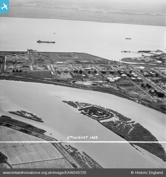
EAW045725 ENGLAND (1952). Upper Horse and part of the Coryton Oil Refinery, Coryton, 1952. This image was marked by Aerofilms Ltd for photo editing.
© Copyright OpenStreetMap contributors and licensed by the OpenStreetMap Foundation. 2026. Cartography is licensed as CC BY-SA.
Nearby Images (31)
EAW045725

EAW045724

EAW045732

EAW042269

EAW051377

EAW043881

EAW041997

EAW048087

EAW045735

EAW047426

EAW039895

EAW042268

EAW042267

EAW042279

EAW042280

EAW045723

EAW048088

EAW047425

EAW039893

EAW048377

EAW034406

EAW041996

EAW047433

EAW051374

EAW042278

EPW044786

EAW034443

EAW035785

EAW047422

EAW043889

EAW048588

Details
| Title | [EAW045725] Upper Horse and part of the Coryton Oil Refinery, Coryton, 1952. This image was marked by Aerofilms Ltd for photo editing. |
| Reference | EAW045725 |
| Date | 6-August-1952 |
| Link | |
| Place name | CORYTON |
| Parish | |
| District | |
| Country | ENGLAND |
| Easting / Northing | 575225, 182560 |
| Longitude / Latitude | 0.52560725917806, 51.514267536299 |
| National Grid Reference | TQ752826 |
Pins
Be the first to add a comment to this image!