
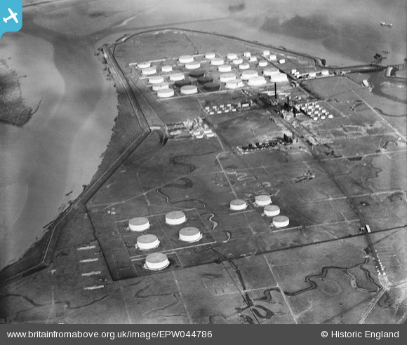
EPW044786 ENGLAND (1934). The Coryton Oil Refinery, Coryton, 1934
© Copyright OpenStreetMap contributors and licensed by the OpenStreetMap Foundation. 2026. Cartography is licensed as CC BY-SA.
Nearby Images (43)
EPW044786

EAW048377

EAW039895

EAW045735

EAW045738

EAW039887

EAW048098

EAW043881

EAW048369

EAW034408

EAW034405

EAW034433

EAW039888

EAW042279

EAW047433

EAW048596

EAW045724

EAW045732

EAW045736

EAW047434

EAW042281

EAW035773

EAW042267

EAW048101

EAW042269

EAW042283

EAW048088

EAW042278

EAW043888

EPW044783

EAW045725

EAW045737

EAW048599

EAW048584

EAW048593

EAW039889

EAW039890

EAW048099

EAW048096

EAW051376

EAW048585

EAW048586

EAW051377

Details
| Title | [EPW044786] The Coryton Oil Refinery, Coryton, 1934 |
| Reference | EPW044786 |
| Date | June-1934 |
| Link | |
| Place name | CORYTON |
| Parish | |
| District | |
| Country | ENGLAND |
| Easting / Northing | 575427, 182412 |
| Longitude / Latitude | 0.52844208300246, 51.512875253084 |
| National Grid Reference | TQ754824 |
Pins
Be the first to add a comment to this image!