
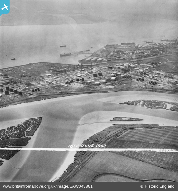
EAW043881 ENGLAND (1952). The Coryton Oil Refinery, Shell Haven, 1952. This image was marked by Aerofilms Ltd for photo editing.
© Copyright OpenStreetMap contributors and licensed by the OpenStreetMap Foundation. 2026. Cartography is licensed as CC BY-SA.
Nearby Images (25)
EAW043881

EAW045724

EAW045725

EAW039895

EAW045732

EAW045735

EAW042269

EPW044786

EAW048377

EAW051377

EAW041997

EAW034443

EAW042279

EAW042267

EAW048087

EAW042268

EAW047433

EAW048088

EAW047426

EAW042278

EAW048599

EAW048593

EAW051374

EAW048106

EAW039887

Details
| Title | [EAW043881] The Coryton Oil Refinery, Shell Haven, 1952. This image was marked by Aerofilms Ltd for photo editing. |
| Reference | EAW043881 |
| Date | 10-June-1952 |
| Link | |
| Place name | SHELL HAVEN |
| Parish | |
| District | |
| Country | ENGLAND |
| Easting / Northing | 575334, 182547 |
| Longitude / Latitude | 0.52717022165642, 51.514116927748 |
| National Grid Reference | TQ753825 |
Pins
Be the first to add a comment to this image!