
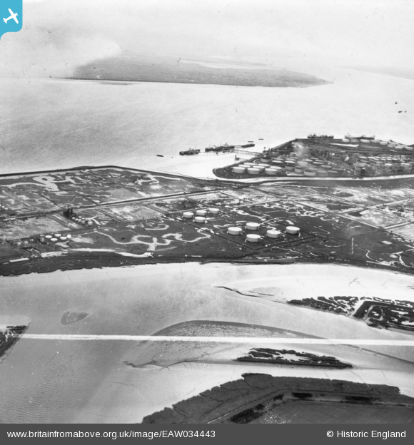
EAW034443 ENGLAND (1951). Holehaven Creek and part of the Coryton Oil Refinery under construction, Canvey Island, from the north-east, 1951. This image has been produced from a print marked by Aerofilms Ltd for photo editing.
© Copyright OpenStreetMap contributors and licensed by the OpenStreetMap Foundation. 2026. Cartography is licensed as CC BY-SA.
Nearby Images (6)
EAW034443

EAW043881

EAW048589

EAW041997

EAW045724

EAW045725

Details
| Title | [EAW034443] Holehaven Creek and part of the Coryton Oil Refinery under construction, Canvey Island, from the north-east, 1951. This image has been produced from a print marked by Aerofilms Ltd for photo editing. |
| Reference | EAW034443 |
| Date | 12-January-1951 |
| Link | |
| Place name | CANVEY ISLAND |
| Parish | CANVEY ISLAND |
| District | |
| Country | ENGLAND |
| Easting / Northing | 575447, 182721 |
| Longitude / Latitude | 0.52888385060846, 51.515645011517 |
| National Grid Reference | TQ754827 |
Pins
Be the first to add a comment to this image!