
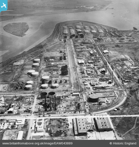
EAW043889 ENGLAND (1952). The Coryton Oil Refinery, Shell Haven, 1952. This image was marked by Aerofilms Ltd for photo editing.
© Copyright OpenStreetMap contributors and licensed by the OpenStreetMap Foundation. 2026. Cartography is licensed as CC BY-SA.
Nearby Images (48)
EAW043889

EAW039892

EAW039893

EAW048102

EAW043890

EAW041996

EAW047422

EAW048588

EAW034409

EAW047426

EAW034436

EAW048089

EAW039881

EAW048091

EAW045733

EAW047435

EAW048302

EAW048592

EAW042280

EAW045734

EAW048591

EAW047425

EAW048587

EAW043882

EAW048095

EAW034403

EAW053084

EAW042284

EAW048372

EAW042272

EAW047424

EAW048097

EAW043886

EAW047438

EAW048594

EAW045723

EAW042276

EAW039884

EAW035778

EAW035782

EAW034406

EAW034435

EAW039883

EAW047431

EAW045730

EAW039882

EAW034441

EAW042270

Details
| Title | [EAW043889] The Coryton Oil Refinery, Shell Haven, 1952. This image was marked by Aerofilms Ltd for photo editing. |
| Reference | EAW043889 |
| Date | 10-June-1952 |
| Link | |
| Place name | SHELL HAVEN |
| Parish | |
| District | |
| Country | ENGLAND |
| Easting / Northing | 575081, 182314 |
| Longitude / Latitude | 0.5234116936859, 51.512102179443 |
| National Grid Reference | TQ751823 |
Pins
Be the first to add a comment to this image!