
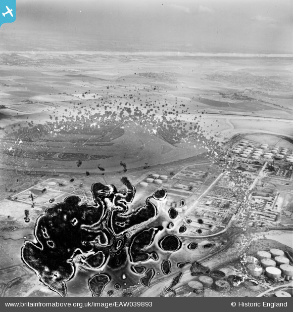
EAW039893 ENGLAND (1951). The Coryton Oil Refinery and Canvey Island, Coryton, from the south-west, 1951. This image has been produced from a damaged negative.
© Copyright OpenStreetMap contributors and licensed by the OpenStreetMap Foundation. 2026. Cartography is licensed as CC BY-SA.
Nearby Images (48)
EAW039893

EAW041996

EAW047422

EAW048588

EAW039892

EAW042280

EAW047425

EAW048102

EAW034409

EAW048091

EAW045733

EAW048591

EAW047424

EAW045723

EAW048089

EAW034436

EAW053084

EAW048592

EAW034406

EAW043882

EAW035782

EAW039881

EAW042284

EAW045734

EAW048372

EAW047431

EAW039883

EAW048587

EAW042276

EAW048302

EAW048095

EAW042272

EAW047438

EAW048097

EAW048594

EAW034403

EAW043880

EAW043886

EAW039882

EAW048371

EAW039884

EAW035778

EAW034441

EAW042270

EAW048368

EAW034435

EAW051371

EAW045730

Details
| Title | [EAW039893] The Coryton Oil Refinery and Canvey Island, Coryton, from the south-west, 1951. This image has been produced from a damaged negative. |
| Reference | EAW039893 |
| Date | 20-August-1951 |
| Link | |
| Place name | CORYTON |
| Parish | |
| District | |
| Country | ENGLAND |
| Easting / Northing | 575076, 182381 |
| Longitude / Latitude | 0.52337298068125, 51.512705640827 |
| National Grid Reference | TQ751824 |
Pins
Be the first to add a comment to this image!