
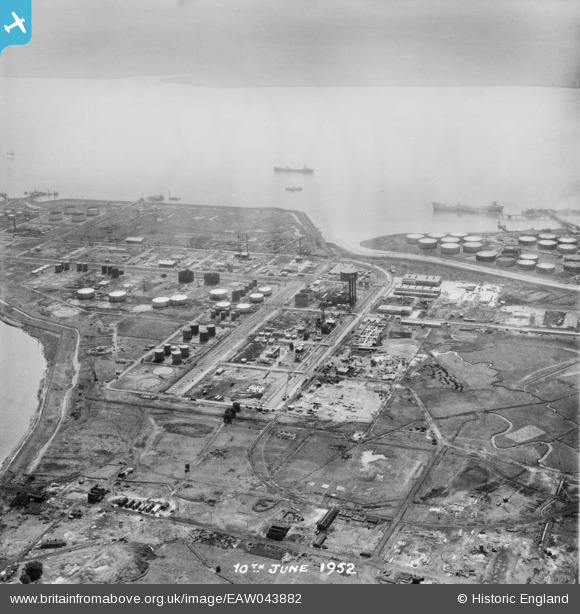
EAW043882 ENGLAND (1952). The Coryton Oil Refinery, Shell Haven, 1952. This image was marked by Aerofilms Ltd for photo editing.
© Copyright OpenStreetMap contributors and licensed by the OpenStreetMap Foundation. 2026. Cartography is licensed as CC BY-SA.
Nearby Images (48)
EAW048103

EAW035775

EAW042285

EAW047436

EAW048094

EAW048600

EAW048104

EAW024609
, Coryton, from the east, 1949. This image has been produced from a damaged negative.")
EAW043885

EAW051373

EAW042274

EAW043887

EAW034404

EAW039894

EAW048373

EAW034437

EAW045731

EAW053085

EAW042273

EAW048375

EAW034440

EAW035776

EAW035777

EAW045722

EAW048374

EAW034438

EAW045729

EAW048086

EAW048590

EAW034439

EAW035783

EAW039885

EAW048105

EAW047421

EAW051372

EAW041998

EAW048595

EAW045726

EAW042277

EAW045728

EAW045721

EAW034407

EAW035779

EAW039896

EAW043884

EAW047427

EAW048367

EAW048093

Details
| Title | [EAW043882] The Coryton Oil Refinery, Shell Haven, 1952. This image was marked by Aerofilms Ltd for photo editing. |
| Reference | EAW043882 |
| Date | 10-June-1952 |
| Link | |
| Place name | SHELL HAVEN |
| Parish | |
| District | |
| Country | ENGLAND |
| Easting / Northing | 574885, 182339 |
| Longitude / Latitude | 0.5206021249539, 51.512387480561 |
| National Grid Reference | TQ749823 |
Pins
Be the first to add a comment to this image!