
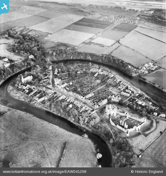
EAW041298 ENGLAND (1951). Warkworth Castle and the village, Warkworth, 1951
© Copyright OpenStreetMap contributors and licensed by the OpenStreetMap Foundation. 2026. Cartography is licensed as CC BY-SA.
Nearby Images (10)
EAW041298

EPW038810

EAW006066

EAW041299

EAW006063

EPW038812

EPW038813

EAW008924

EAW008922

EPW038814

Details
| Title | [EAW041298] Warkworth Castle and the village, Warkworth, 1951 |
| Reference | EAW041298 |
| Date | 12-November-1951 |
| Link | |
| Place name | WARKWORTH |
| Parish | WARKWORTH |
| District | |
| Country | ENGLAND |
| Easting / Northing | 424815, 606025 |
| Longitude / Latitude | -1.6086457847167, 55.347594753496 |
| National Grid Reference | NU248060 |
Pins

Matt Aldred edob.mattaldred.com |
Monday 8th of March 2021 01:20:19 PM | |

RichardG |
Wednesday 27th of June 2018 03:55:27 PM | |

melgibbs |
Wednesday 10th of December 2014 11:45:37 AM | |
|
melgibbs |
Wednesday 10th of December 2014 11:45:18 AM |