
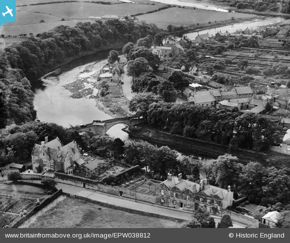
EPW038812 ENGLAND (1932). Warkworth Bridge and environs, Warkworth, 1932
© Copyright OpenStreetMap contributors and licensed by the OpenStreetMap Foundation. 2025. Cartography is licensed as CC BY-SA.
Nearby Images (4)
EPW038812

EPW038813

EAW041298

EPW038810

Details
| Title | [EPW038812] Warkworth Bridge and environs, Warkworth, 1932 |
| Reference | EPW038812 |
| Date | June-1932 |
| Link | |
| Place name | WARKWORTH |
| Parish | WARKWORTH |
| District | |
| Country | ENGLAND |
| Easting / Northing | 424820, 606209 |
| Longitude / Latitude | -1.6085506235419, 55.349248015952 |
| National Grid Reference | NU248062 |
