
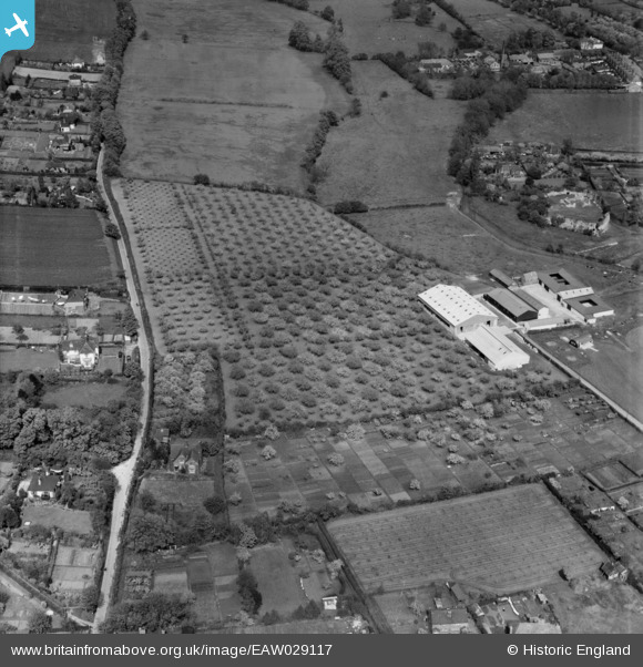
EAW029117 ENGLAND (1950). Furlongs Farm, Eynsford, 1950. This image was marked by Aerofilms Ltd for photo editing.
© Copyright OpenStreetMap contributors and licensed by the OpenStreetMap Foundation. 2026. Cartography is licensed as CC BY-SA.
Nearby Images (28)
EAW029117

EAW029115

EAW029110

EAW029114

EAW029109

EAW029116

EAW029111

EAW029112

EAW029123

EAW029126

EAW029113

EAW029125

EAW013378

EAW034951

EAW029124

EAW013376

EAW013379

EAW034954

EAW013377

EAW034952

EAW034950

EAW029120

EAW029118

EAW013380

EAW029119

EAW029121

EAW029122

EAW023110

Details
| Title | [EAW029117] Furlongs Farm, Eynsford, 1950. This image was marked by Aerofilms Ltd for photo editing. |
| Reference | EAW029117 |
| Date | 9-May-1950 |
| Link | |
| Place name | EYNSFORD |
| Parish | EYNSFORD |
| District | |
| Country | ENGLAND |
| Easting / Northing | 553941, 165793 |
| Longitude / Latitude | 0.21180046547207, 51.369803341281 |
| National Grid Reference | TQ539658 |
Pins
Be the first to add a comment to this image!