
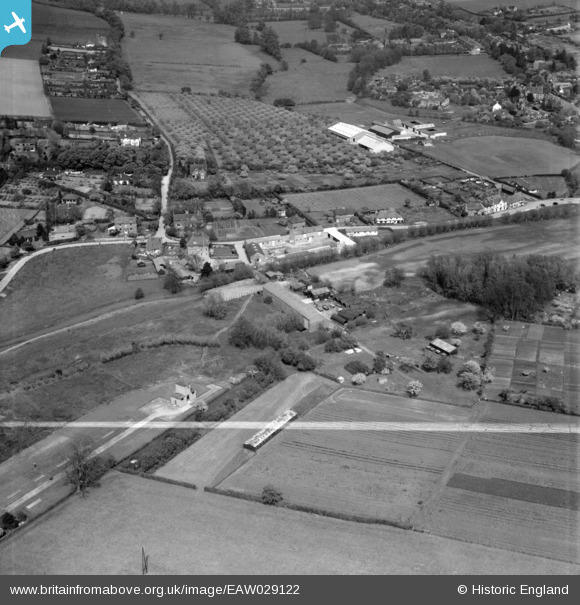
EAW029122 ENGLAND (1950). Home Farm and environs, Eynsford, 1950. This image was marked by Aerofilms Ltd for photo editing.
© Copyright OpenStreetMap contributors and licensed by the OpenStreetMap Foundation. 2026. Cartography is licensed as CC BY-SA.
Nearby Images (13)
EAW029122

EAW029121

EAW029120

EAW029118

EAW029119

EAW029125

EAW029113

EAW029124

EAW023111

EAW029126

EAW029123

EAW029117

EAW029115

Details
| Title | [EAW029122] Home Farm and environs, Eynsford, 1950. This image was marked by Aerofilms Ltd for photo editing. |
| Reference | EAW029122 |
| Date | 9-May-1950 |
| Link | |
| Place name | EYNSFORD |
| Parish | EYNSFORD |
| District | |
| Country | ENGLAND |
| Easting / Northing | 553754, 165569 |
| Longitude / Latitude | 0.20901892163806, 51.367841142046 |
| National Grid Reference | TQ538656 |
Pins

Sparky |
Sunday 3rd of September 2017 10:38:02 PM |