
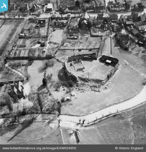
EAW034950 ENGLAND (1951). Eynsford Castle, Eynsford, 1951
© Copyright OpenStreetMap contributors and licensed by the OpenStreetMap Foundation. 2026. Cartography is licensed as CC BY-SA.
Nearby Images (21)
EAW034950

EAW034952

EAW013379

EAW013376

EAW034951

EAW013380

EAW034954

EAW013378

EAW034955

EAW013377

EAW029116

EAW029111

EAW029112

EAW029109

EAW029115

EAW029110

EAW029114

EAW029117

EAW023110

EAW013373

EAW013375

Details
| Title | [EAW034950] Eynsford Castle, Eynsford, 1951 |
| Reference | EAW034950 |
| Date | 15-March-1951 |
| Link | |
| Place name | EYNSFORD |
| Parish | EYNSFORD |
| District | |
| Country | ENGLAND |
| Easting / Northing | 554163, 165840 |
| Longitude / Latitude | 0.21500795660469, 51.370165450127 |
| National Grid Reference | TQ542658 |
Pins
Be the first to add a comment to this image!