
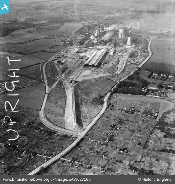
EAW027165 ENGLAND (1949). The John Lysaght Normanby Park Steel Works, Scunthorpe, 1949. This image was marked by Aerofilms Ltd for photo editing.
© Copyright OpenStreetMap contributors and licensed by the OpenStreetMap Foundation. 2026. Cartography is licensed as CC BY-SA.
Nearby Images (26)
EAW027165

EAW027164

EAW009408

EAW028559

EAW028558

EAW021125

EAW021128

EAW041832

EAW023916

EAW019679

EAW021144
, Scunthorpe, from the south-east, 1949. This image has been produced from a damaged negative.")
EAW023917

EAW013493

EAW027169
, Scunthorpe, from the south, 1949. This image has been produced from a damaged negative.")
EAW009416

EAW019678

EAW021145
, Scunthorpe, from the south-east, 1949. This image has been produced from a damaged negative.")
EAW031167

EAW038758

EAW019666

EAW023921

EAW034813

EAW013825

EAW038754

EAW031168

EAW038755

Details
| Title | [EAW027165] The John Lysaght Normanby Park Steel Works, Scunthorpe, 1949. This image was marked by Aerofilms Ltd for photo editing. |
| Reference | EAW027165 |
| Date | 12-October-1949 |
| Link | |
| Place name | SCUNTHORPE |
| Parish | |
| District | |
| Country | ENGLAND |
| Easting / Northing | 489149, 412907 |
| Longitude / Latitude | -0.65253432088409, 53.604891989026 |
| National Grid Reference | SE891129 |
Pins
Be the first to add a comment to this image!