
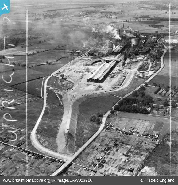
EAW023916 ENGLAND (1949). The John Lysaght Normanby Park Steel Works, Scunthorpe, 1949. This image has been produced from a print marked by Aerofilms Ltd for photo editing.
© Copyright OpenStreetMap contributors and licensed by the OpenStreetMap Foundation. 2026. Cartography is licensed as CC BY-SA.
Nearby Images (48)
EAW023916

EAW023917

EAW013493

EAW019679

EAW021128

EAW019666

EAW041832

EAW038758

EAW023921

EAW034813

EAW009408

EAW013825

EAW038754

EAW034817

EAW021143
, Scunthorpe, 1949. This image has been produced from a damaged negative.")
EAW031168

EAW009412

EAW021125

EAW034827

EAW038755

EAW019664

EAW038756

EAW013826

EAW038777

EAW021126

EAW027169
, Scunthorpe, from the south, 1949. This image has been produced from a damaged negative.")
EAW027163

EAW013492

EAW034810

EAW038764

EAW038749

EAW031170

EAW038767

EAW027170

EAW038759

EAW034802

EAW023922

EAW013491

EAW023920

EAW021127

EAW021141
, Scunthorpe, 1949. This image has been produced from a damaged negative.")
EAW013496

EAW019677

EAW038753

EAW021130

EAW009413

EAW031169

EAW027167

Details
| Title | [EAW023916] The John Lysaght Normanby Park Steel Works, Scunthorpe, 1949. This image has been produced from a print marked by Aerofilms Ltd for photo editing. |
| Reference | EAW023916 |
| Date | 20-June-1949 |
| Link | |
| Place name | SCUNTHORPE |
| Parish | |
| District | |
| Country | ENGLAND |
| Easting / Northing | 489067, 413031 |
| Longitude / Latitude | -0.65373791055431, 53.606020300999 |
| National Grid Reference | SE891130 |
Pins

redmist |
Friday 1st of February 2019 02:13:06 PM |