
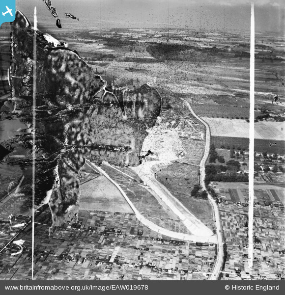
EAW019678 ENGLAND (1948). Allotments on the northern edge of Crosby and the Normanby Road, Scunthorpe, from the south, 1948. This image has been produced from a damaged negative.
© Copyright OpenStreetMap contributors and licensed by the OpenStreetMap Foundation. 2026. Cartography is licensed as CC BY-SA.
Nearby Images (8)
EAW019678

EAW028558

EAW027164

EAW027165

EAW021125

EAW009408

EAW027169
, Scunthorpe, from the south, 1949. This image has been produced from a damaged negative.")
EAW021145
, Scunthorpe, from the south-east, 1949. This image has been produced from a damaged negative.")
Details
| Title | [EAW019678] Allotments on the northern edge of Crosby and the Normanby Road, Scunthorpe, from the south, 1948. This image has been produced from a damaged negative. |
| Reference | EAW019678 |
| Date | 5-October-1948 |
| Link | |
| Place name | SCUNTHORPE |
| Parish | |
| District | |
| Country | ENGLAND |
| Easting / Northing | 489139, 412691 |
| Longitude / Latitude | -0.65274720856433, 53.602952537839 |
| National Grid Reference | SE891127 |
Pins
Be the first to add a comment to this image!