
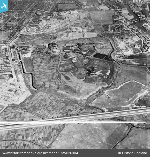
EAW026384 ENGLAND (1949). Alfred's Way, the East Ham Sewage Works and environs, East Ham, 1949. This image was marked by Aerofilms Ltd for photo editing.
© Copyright OpenStreetMap contributors and licensed by the OpenStreetMap Foundation. 2026. Cartography is licensed as CC BY-SA.
Nearby Images (11)
EAW026384

EAW026385

EAW026388

EAW026381

EAW026378
, East Ham, 1949. This image has been produced from a damaged negative.")
EAW026379
, East Ham, 1949. This image has been produced from a damaged negative.")
EAW026387

EAW026380

EAW026377

EAW043569

EAW026382

Details
| Title | [EAW026384] Alfred's Way, the East Ham Sewage Works and environs, East Ham, 1949. This image was marked by Aerofilms Ltd for photo editing. |
| Reference | EAW026384 |
| Date | 5-September-1949 |
| Link | |
| Place name | EAST HAM |
| Parish | |
| District | |
| Country | ENGLAND |
| Easting / Northing | 543766, 182962 |
| Longitude / Latitude | 0.072690740118894, 51.52676390035 |
| National Grid Reference | TQ438830 |
Pins

redmist |
Saturday 6th of November 2021 10:58:41 PM |