
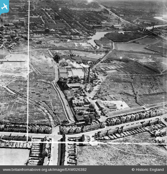
EAW026382 ENGLAND (1949). The East Ham Sewage Works and environs, East Ham, 1949. This image was marked by Aerofilms Ltd for photo editing.
© Copyright OpenStreetMap contributors and licensed by the OpenStreetMap Foundation. 2026. Cartography is licensed as CC BY-SA.
Nearby Images (10)
EAW026382

EAW043569

EAW026387

EAW026380

EAW026383

EAW026379
, East Ham, 1949. This image has been produced from a damaged negative.")
EAW026381

EAW026386

EAW026388

EAW026384

Details
| Title | [EAW026382] The East Ham Sewage Works and environs, East Ham, 1949. This image was marked by Aerofilms Ltd for photo editing. |
| Reference | EAW026382 |
| Date | 5-September-1949 |
| Link | |
| Place name | EAST HAM |
| Parish | |
| District | |
| Country | ENGLAND |
| Easting / Northing | 543532, 183164 |
| Longitude / Latitude | 0.069401832852333, 51.528638726314 |
| National Grid Reference | TQ435832 |
Pins
Be the first to add a comment to this image!