
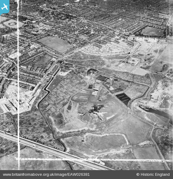
EAW026381 ENGLAND (1949). The East Ham Sewage Works and environs, East Ham, 1949. This image was marked by Aerofilms Ltd for photo editing.
© Copyright OpenStreetMap contributors and licensed by the OpenStreetMap Foundation. 2026. Cartography is licensed as CC BY-SA.
Nearby Images (9)
EAW026381

EAW026379
, East Ham, 1949. This image has been produced from a damaged negative.")
EAW026387

EAW026380

EAW043569

EAW026382

EAW026388

EAW026384

EAW026383

Details
| Title | [EAW026381] The East Ham Sewage Works and environs, East Ham, 1949. This image was marked by Aerofilms Ltd for photo editing. |
| Reference | EAW026381 |
| Date | 5-September-1949 |
| Link | |
| Place name | EAST HAM |
| Parish | |
| District | |
| Country | ENGLAND |
| Easting / Northing | 543631, 183095 |
| Longitude / Latitude | 0.070800040508995, 51.527993474697 |
| National Grid Reference | TQ436831 |
Pins

redmist |
Saturday 6th of November 2021 10:47:09 PM |