
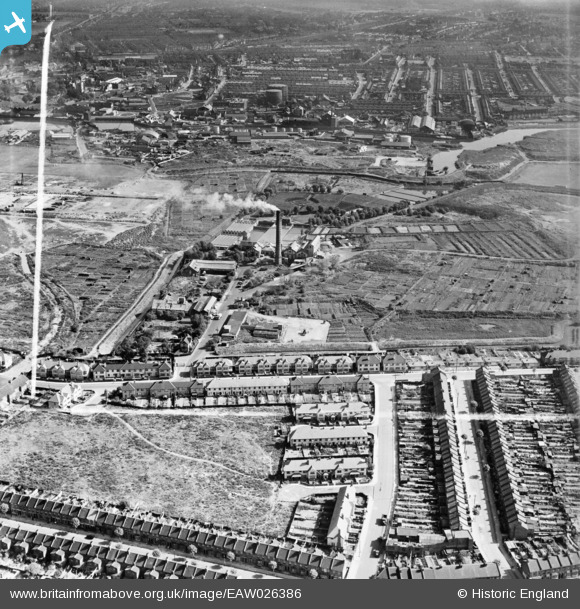
EAW026386 ENGLAND (1949). Folkestone Road, the East Ham Sewage Works and environs, East Ham, from the south-west, 1949. This image was marked by Aerofilms Ltd for photo editing.
© Copyright OpenStreetMap contributors and licensed by the OpenStreetMap Foundation. 2026. Cartography is licensed as CC BY-SA.
Nearby Images (6)
EAW026386

EAW026383

EAW043569

EAW026382

EAW026387

EAW026380

Details
| Title | [EAW026386] Folkestone Road, the East Ham Sewage Works and environs, East Ham, from the south-west, 1949. This image was marked by Aerofilms Ltd for photo editing. |
| Reference | EAW026386 |
| Date | 5-September-1949 |
| Link | |
| Place name | EAST HAM |
| Parish | |
| District | |
| Country | ENGLAND |
| Easting / Northing | 543361, 183021 |
| Longitude / Latitude | 0.066879919113586, 51.527397088602 |
| National Grid Reference | TQ434830 |
Pins
Be the first to add a comment to this image!