
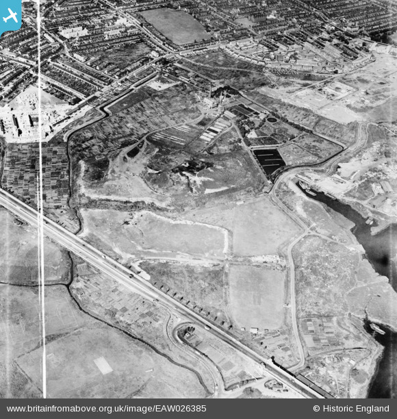
EAW026385 ENGLAND (1949). Alfred's Way, the East Ham Sewage Works and environs, East Ham, 1949. This image was marked by Aerofilms Ltd for photo editing.
© Copyright OpenStreetMap contributors and licensed by the OpenStreetMap Foundation. 2026. Cartography is licensed as CC BY-SA.
Nearby Images (4)
EAW026385

EAW026378
, East Ham, 1949. This image has been produced from a damaged negative.")
EAW026384

EAW026377

Details
| Title | [EAW026385] Alfred's Way, the East Ham Sewage Works and environs, East Ham, 1949. This image was marked by Aerofilms Ltd for photo editing. |
| Reference | EAW026385 |
| Date | 5-September-1949 |
| Link | |
| Place name | EAST HAM |
| Parish | |
| District | |
| Country | ENGLAND |
| Easting / Northing | 543903, 182993 |
| Longitude / Latitude | 0.074677158781146, 51.527007583585 |
| National Grid Reference | TQ439830 |
Pins
Be the first to add a comment to this image!