
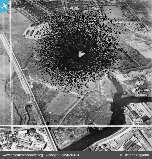
EAW026378 ENGLAND (1949). Barking Creek, Hand Trough Creek and the East Ham Sewage Works (site of), East Ham, 1949. This image has been produced from a damaged negative.
© Copyright OpenStreetMap contributors and licensed by the OpenStreetMap Foundation. 2026. Cartography is licensed as CC BY-SA.
Nearby Images (4)
EAW026378
, East Ham, 1949. This image has been produced from a damaged negative.")
EAW026385

EAW026377

EAW026384

Details
| Title | [EAW026378] Barking Creek, Hand Trough Creek and the East Ham Sewage Works (site of), East Ham, 1949. This image has been produced from a damaged negative. |
| Reference | EAW026378 |
| Date | 5-September-1949 |
| Link | |
| Place name | EAST HAM |
| Parish | |
| District | |
| Country | ENGLAND |
| Easting / Northing | 543949, 183030 |
| Longitude / Latitude | 0.075355004833367, 51.527328360437 |
| National Grid Reference | TQ439830 |
