
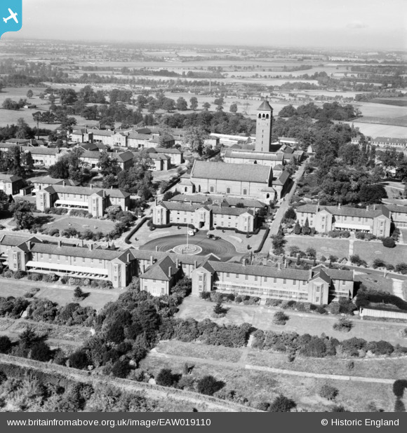
EAW019110 ENGLAND (1948). Shenley Hospital, Shenley, from the south-east, 1948
© Copyright OpenStreetMap contributors and licensed by the OpenStreetMap Foundation. 2026. Cartography is licensed as CC BY-SA.
Nearby Images (36)
EAW019110

EAW019112

EPW043664

EPW044103

EPW043670

EAW018904

EAW018908
, Shenley, from the south-east, 1948. This image has been produced from a damaged negative.")
EPW043667

EAW019115

EPW044110

EPW044105

EAW019108

EAW018907

EAW018905

EPW044107

EPW043672

EPW043665

EPW043671

EPW044108

EAW018909

EPW044109

EPW044111

EPW043668

EAW019109

EPW044106

EAW019114

EPW043674

EPW043675

EPW044101

EPW044102

EAW018910

EPW044104

EPW043669

EAW019111

EPW043666

EAW019113

Details
| Title | [EAW019110] Shenley Hospital, Shenley, from the south-east, 1948 |
| Reference | EAW019110 |
| Date | 30-September-1948 |
| Link | |
| Place name | SHENLEY |
| Parish | SHENLEY |
| District | |
| Country | ENGLAND |
| Easting / Northing | 518356, 200786 |
| Longitude / Latitude | -0.28743446039735, 51.692870886896 |
| National Grid Reference | TL184008 |
Pins

Matt Aldred edob.mattaldred.com |
Friday 8th of March 2024 12:21:22 PM | |
|
Matt Aldred edob.mattaldred.com |
Friday 8th of March 2024 12:20:35 PM |