
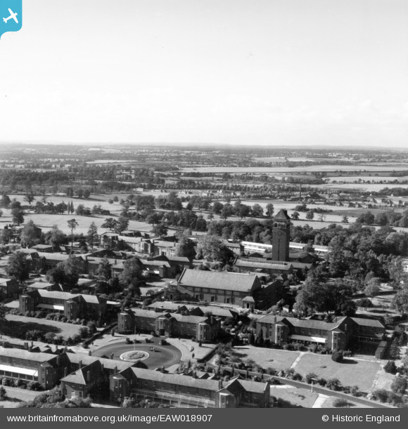
EAW018907 ENGLAND (1948). Shenley Hospital, Shenley, from the south-east, 1948. This image has been produced from a print.
© Copyright OpenStreetMap contributors and licensed by the OpenStreetMap Foundation. 2026. Cartography is licensed as CC BY-SA.
Nearby Images (32)
EAW018907

EAW018905

EPW043671

EAW019115

EPW043667

EAW018908
, Shenley, from the south-east, 1948. This image has been produced from a damaged negative.")
EAW018904

EPW044106

EPW044108

EAW019112

EPW044105

EPW043675

EPW044103

EPW043664

EPW044110

EAW019110

EPW043670

EPW044107

EPW044113

EPW044109

EPW044111

EPW044112

EAW018909

EPW043672

EPW049672

EAW019108

EPW043665

EAW018900

EPW043679

EAW018910

EAW019111

EPW043669

Details
| Title | [EAW018907] Shenley Hospital, Shenley, from the south-east, 1948. This image has been produced from a print. |
| Reference | EAW018907 |
| Date | 28-September-1948 |
| Link | |
| Place name | SHENLEY |
| Parish | SHENLEY |
| District | |
| Country | ENGLAND |
| Easting / Northing | 518281, 200889 |
| Longitude / Latitude | -0.28848423095814, 51.693812481743 |
| National Grid Reference | TL183009 |
Pins

Matt Aldred edob.mattaldred.com |
Sunday 19th of September 2021 05:27:26 PM |