
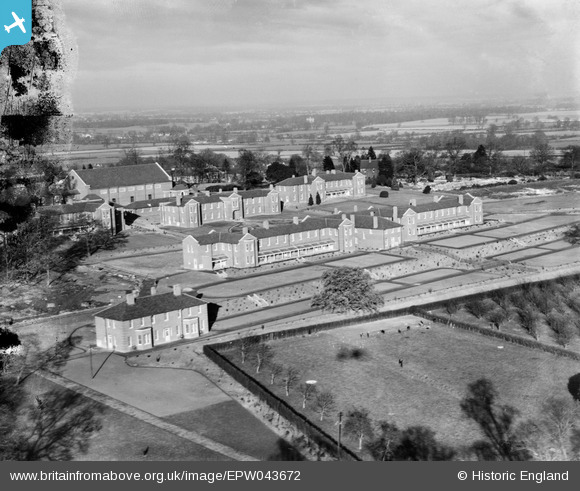
EPW043672 ENGLAND (1933). Shenley Mental Hospital, Shenley, from the south, 1933. This image has been produced from a damaged negative.
© Copyright OpenStreetMap contributors and licensed by the OpenStreetMap Foundation. 2026. Cartography is licensed as CC BY-SA.
Nearby Images (38)
EPW043672

EPW043665

EAW018909

EPW043670

EPW043668

EPW044107

EPW043674

EPW044109

EPW044111

EPW043664

EPW044102

EPW044101

EPW044105

EPW044104

EAW019110

EAW019112

EPW043669

EPW043666

EAW019113

EAW018904

EAW018908
, Shenley, from the south-east, 1948. This image has been produced from a damaged negative.")
EAW018910

EPW044108

EAW019111

EPW043667

EPW044103

EAW019115

EAW018900

EPW043673

EPW043671

EPW043680

EPW043677

EAW018907

EAW018905

EAW019108

EPW044110

EPW043675

EPW049672

Details
| Title | [EPW043672] Shenley Mental Hospital, Shenley, from the south, 1933. This image has been produced from a damaged negative. |
| Reference | EPW043672 |
| Date | December-1933 |
| Link | |
| Place name | SHENLEY |
| Parish | SHENLEY |
| District | |
| Country | ENGLAND |
| Easting / Northing | 518279, 200670 |
| Longitude / Latitude | -0.28858741872773, 51.691844488375 |
| National Grid Reference | TL183007 |
Pins
Be the first to add a comment to this image!