
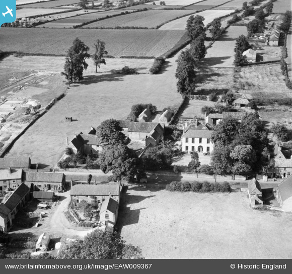
EAW009367 ENGLAND (1947). Properties on Main Street, Calverton, 1947
© Copyright OpenStreetMap contributors and licensed by the OpenStreetMap Foundation. 2026. Cartography is licensed as CC BY-SA.
Nearby Images (6)
EAW009367

EAW009369

EAW009368

EAW009362

EAW009364

EAW009363

Details
| Title | [EAW009367] Properties on Main Street, Calverton, 1947 |
| Reference | EAW009367 |
| Date | 17-August-1947 |
| Link | |
| Place name | CALVERTON |
| Parish | CALVERTON |
| District | |
| Country | ENGLAND |
| Easting / Northing | 461443, 349287 |
| Longitude / Latitude | -1.0835654684474, 53.037021759079 |
| National Grid Reference | SK614493 |
Pins

JasAloysius |
Monday 2nd of January 2017 10:35:15 PM | |
|
JasAloysius |
Monday 2nd of January 2017 10:29:47 PM | |
|
JasAloysius |
Monday 2nd of January 2017 10:18:01 PM | |
|
JasAloysius |
Monday 2nd of January 2017 10:16:50 PM |