
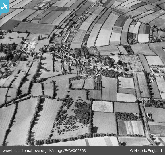
EAW009363 ENGLAND (1947). The village, Calverton, 1947
© Copyright OpenStreetMap contributors and licensed by the OpenStreetMap Foundation. 2026. Cartography is licensed as CC BY-SA.
Nearby Images (5)
EAW009363

EAW009366

EAW009362

EAW009369

EAW009367

Details
| Title | [EAW009363] The village, Calverton, 1947 |
| Reference | EAW009363 |
| Date | 17-August-1947 |
| Link | |
| Place name | CALVERTON |
| Parish | CALVERTON |
| District | |
| Country | ENGLAND |
| Easting / Northing | 461685, 349066 |
| Longitude / Latitude | -1.0799987860241, 53.035007330959 |
| National Grid Reference | SK617491 |
Pins
Be the first to add a comment to this image!