
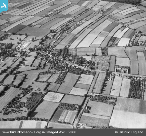
EAW009366 ENGLAND (1947). St Wilfrid's Church and environs, Calverton, 1947
© Copyright OpenStreetMap contributors and licensed by the OpenStreetMap Foundation. 2026. Cartography is licensed as CC BY-SA.
Nearby Images (3)
EAW009366

EAW009363

EAW009362

Details
| Title | [EAW009366] St Wilfrid's Church and environs, Calverton, 1947 |
| Reference | EAW009366 |
| Date | 17-August-1947 |
| Link | |
| Place name | CALVERTON |
| Parish | CALVERTON |
| District | |
| Country | ENGLAND |
| Easting / Northing | 461792, 349139 |
| Longitude / Latitude | -1.0783891673477, 53.035651176352 |
| National Grid Reference | SK618491 |
Pins

coopern |
Wednesday 28th of September 2016 11:23:30 AM |