
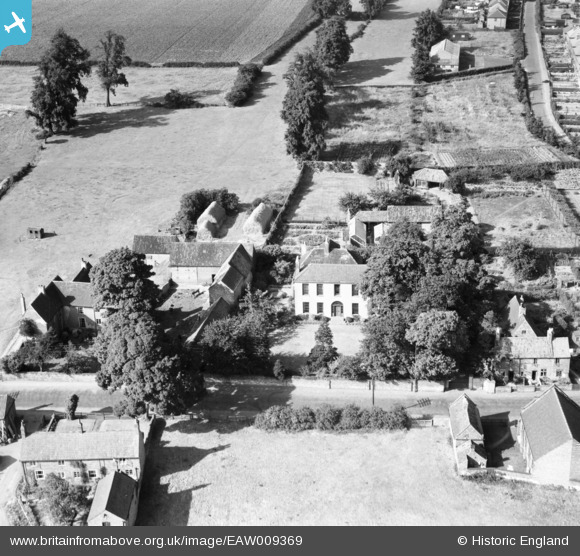
EAW009369 ENGLAND (1947). Properties on Main Street, Calverton, 1947
© Copyright OpenStreetMap contributors and licensed by the OpenStreetMap Foundation. 2026. Cartography is licensed as CC BY-SA.
Nearby Images (5)
EAW009369

EAW009368

EAW009367

EAW009362

EAW009363

Details
| Title | [EAW009369] Properties on Main Street, Calverton, 1947 |
| Reference | EAW009369 |
| Date | 17-August-1947 |
| Link | |
| Place name | CALVERTON |
| Parish | CALVERTON |
| District | |
| Country | ENGLAND |
| Easting / Northing | 461479, 349306 |
| Longitude / Latitude | -1.0830249727187, 53.037188412945 |
| National Grid Reference | SK615493 |
Pins
Be the first to add a comment to this image!