
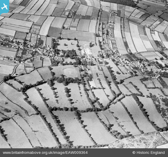
EAW009364 ENGLAND (1947). The village, Calverton, 1947
© Copyright OpenStreetMap contributors and licensed by the OpenStreetMap Foundation. 2026. Cartography is licensed as CC BY-SA.
Nearby Images (3)
EAW009364

EAW009360

EAW009367

Details
| Title | [EAW009364] The village, Calverton, 1947 |
| Reference | EAW009364 |
| Date | 17-August-1947 |
| Link | |
| Place name | CALVERTON |
| Parish | CALVERTON |
| District | |
| Country | ENGLAND |
| Easting / Northing | 461276, 349042 |
| Longitude / Latitude | -1.0861025291596, 53.034838610388 |
| National Grid Reference | SK613490 |
Pins
Be the first to add a comment to this image!