
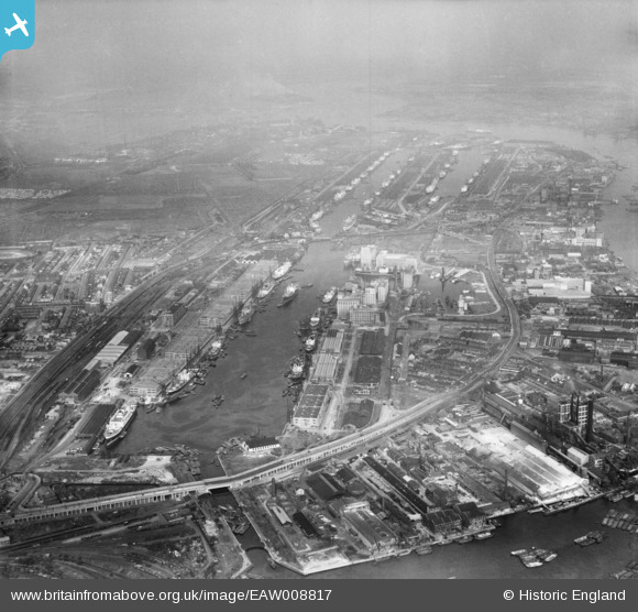
EAW008817 ENGLAND (1947). The Royal Docks, Silvertown, from the west, 1947
© Copyright OpenStreetMap contributors and licensed by the OpenStreetMap Foundation. 2026. Cartography is licensed as CC BY-SA.
Nearby Images (14)
EAW008817

EPW046155

EPW044114

EAW008824

EAW008823

EAW009065

EPW008886

EAW000053

EAW008818

EAW000038

EPW059927

EAW008826

EPW006146

EPW008889

Details
| Title | [EAW008817] The Royal Docks, Silvertown, from the west, 1947 |
| Reference | EAW008817 |
| Date | 9-August-1947 |
| Link | |
| Place name | SILVERTOWN |
| Parish | |
| District | |
| Country | ENGLAND |
| Easting / Northing | 540264, 180382 |
| Longitude / Latitude | 0.021209371360866, 51.504458607547 |
| National Grid Reference | TQ403804 |
Pins

Class31 |
Saturday 28th of February 2015 08:58:45 AM |