
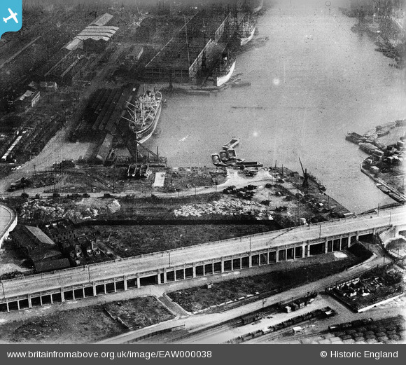
EAW000038 ENGLAND (1946). The Royal Victoria Dock Tidal Basin, Canning Town, 1946
© Copyright OpenStreetMap contributors and licensed by the OpenStreetMap Foundation. 2026. Cartography is licensed as CC BY-SA.
Nearby Images (15)
EAW000038

EAW009064

EAW008824

EAW008818

EPW008886

EAW009065

EAW008823

EAW008820

EPW046155

EAW008817

EPW055963

EPW055967

EAW008821

EPW055968

EPW044114

Details
| Title | [EAW000038] The Royal Victoria Dock Tidal Basin, Canning Town, 1946 |
| Reference | EAW000038 |
| Date | 24-February-1946 |
| Link | |
| Place name | CANNING TOWN |
| Parish | |
| District | |
| Country | ENGLAND |
| Easting / Northing | 540101, 180599 |
| Longitude / Latitude | 0.018948322168567, 51.506449204906 |
| National Grid Reference | TQ401806 |


